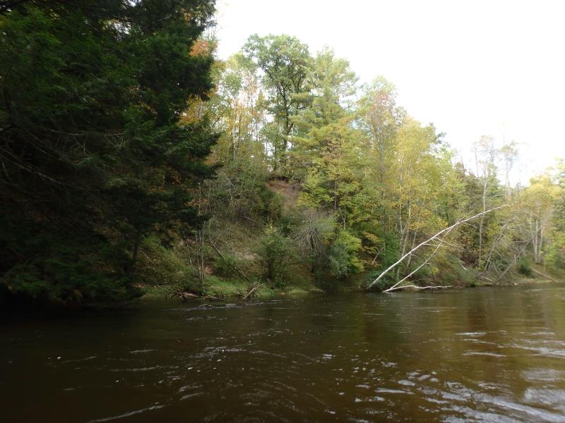
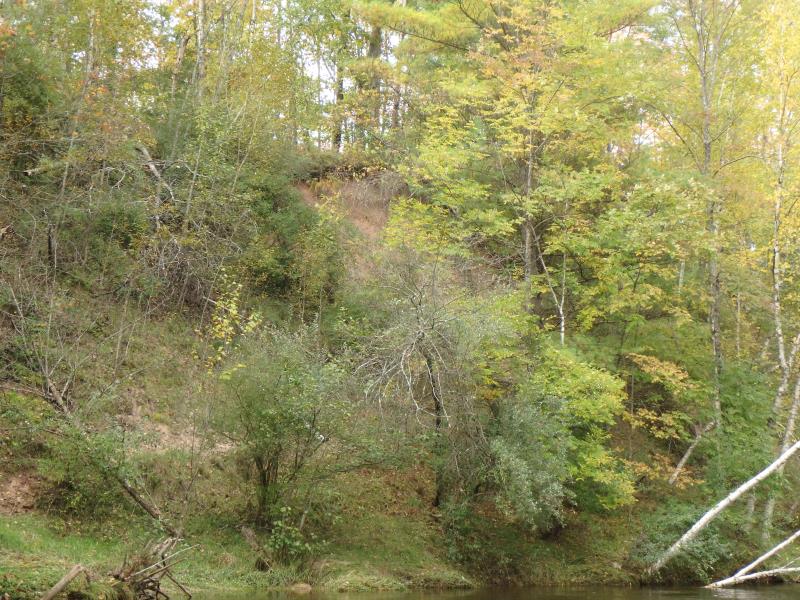
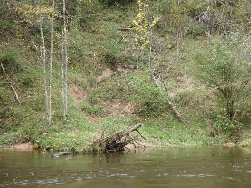
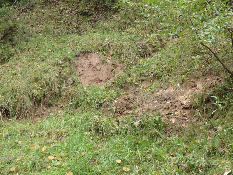
Stream Bank Erosion Site PM-210
Total Severity: Severe
Total Points: 33
Information collected by:
Pere Marquette RIver Watershed,
Pere Marquette River
Sweetwater Twp,
Lake County
GPS Coordinates: 43.923209
, -85.991897
T18N
R14W
Sec 28
Owned by Private
2019
2019
2019
2019
2019
2019
2019
2019
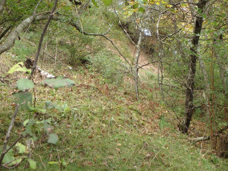
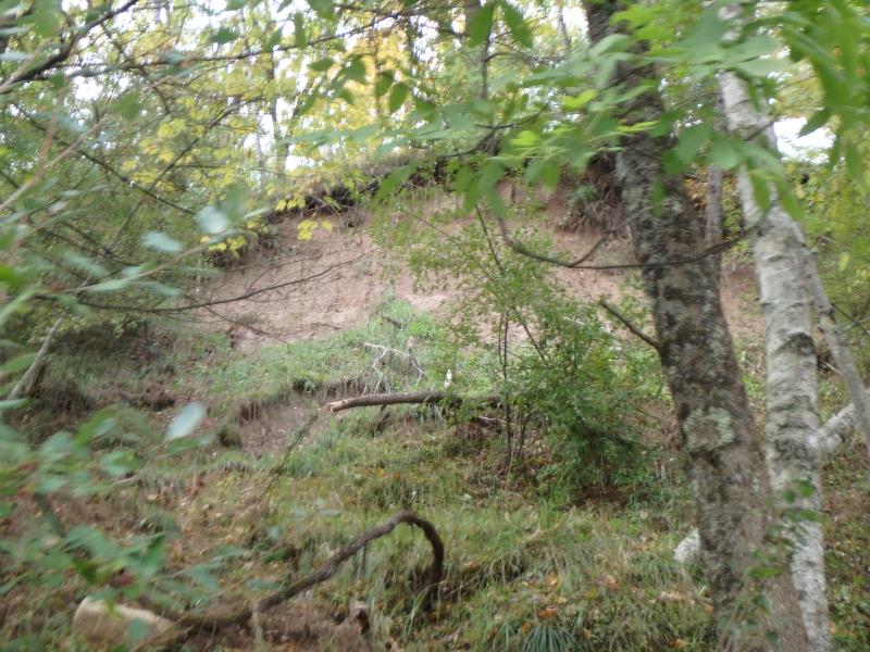
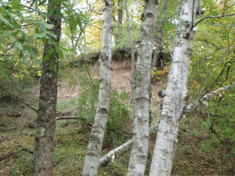
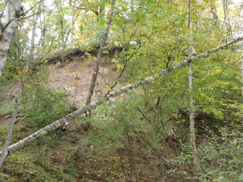
Bank Details
Which Bank? Left
Bank Aspect:N
Condition:Toe is stable, upper bank eroding
Erosion Trend:Increasing
Percent Veg. Cover: 50-100%
Bank Conditions
Stream Width:45 ft.
Stream Depth:5 ft.
Stream Current:Fast
Eroded Bank Length:75 ft.
Eroded Bank Height:30 ft.
Slope of Eroded Bank:1:1
Texture: Sand
Cause(s) of Erosion
-Bank seepage
Other causes: Runoff
Recommended Treatment(s)
-Bank revegetation
-Rock riprap
General Information
Project Details
Year Inventory Completed: 2019
Total Points
33
�