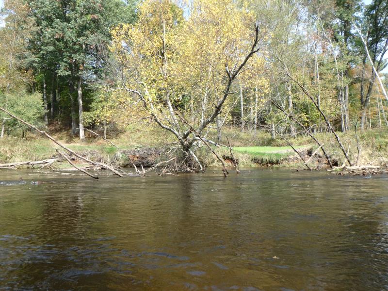
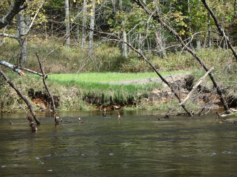
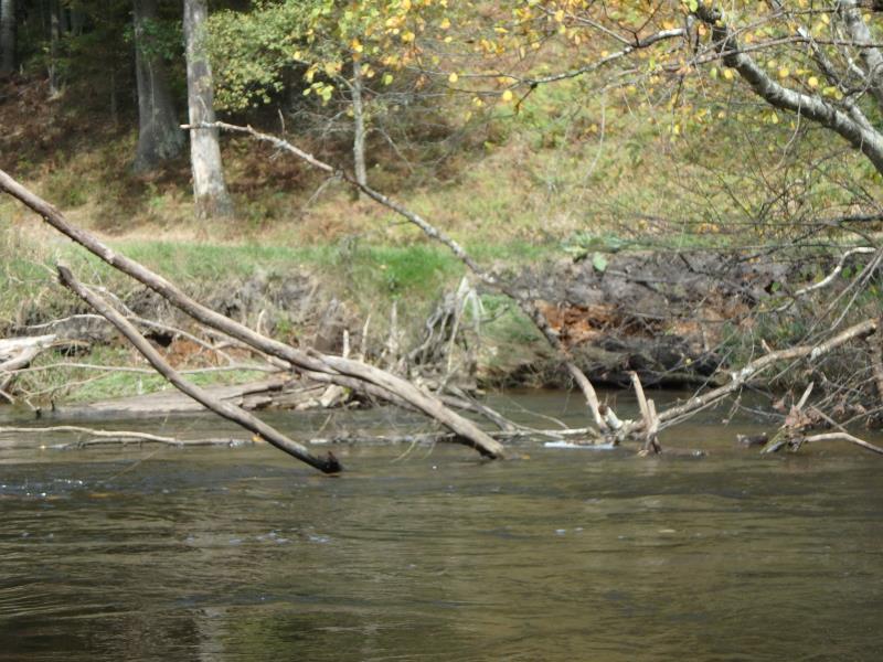
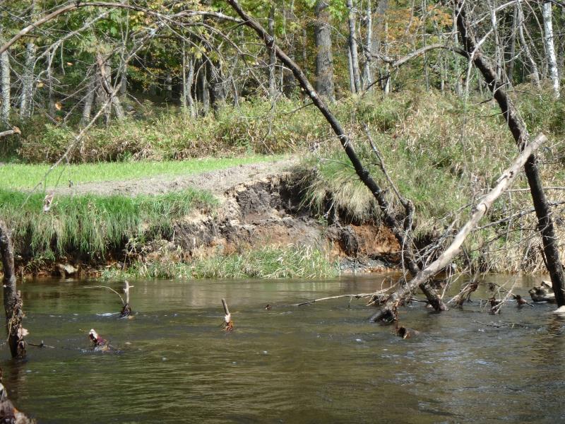
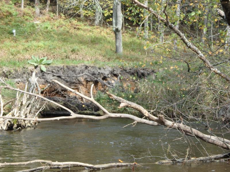
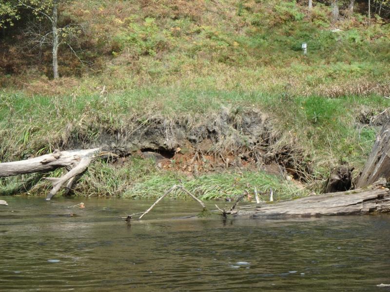
Stream Bank Erosion Site PM-212
Total Severity: Minor
Total Points: 27
Information collected by:
Pere Marquette RIver Watershed,
Pere Marquette River
Sweetwater Twp,
Lake County
GPS Coordinates: 43.925029
, -85.993779
T18N
R14W
Sec 28
Owned by Private
2019
2019
2019
2019
2019
2019
Bank Details
Which Bank? Right
Bank Aspect:SE
Condition:Toe is undercutting
Erosion Trend:Increasing
Percent Veg. Cover: 50-100%
Bank Conditions
Stream Width:50 ft.
Stream Depth:3 ft.
Stream Current:Fast
Eroded Bank Length:40 ft.
Eroded Bank Height:3 ft.
Slope of Eroded Bank:1:1
Texture: Stratified
Cause(s) of Erosion
-Bend in river
Recommended Treatment(s)
-Rock riprap
-Tree revetments
General Information
Project Details
Year Inventory Completed: 2019
Total Points
27
�