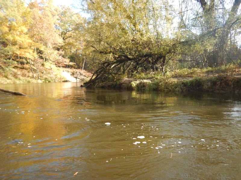
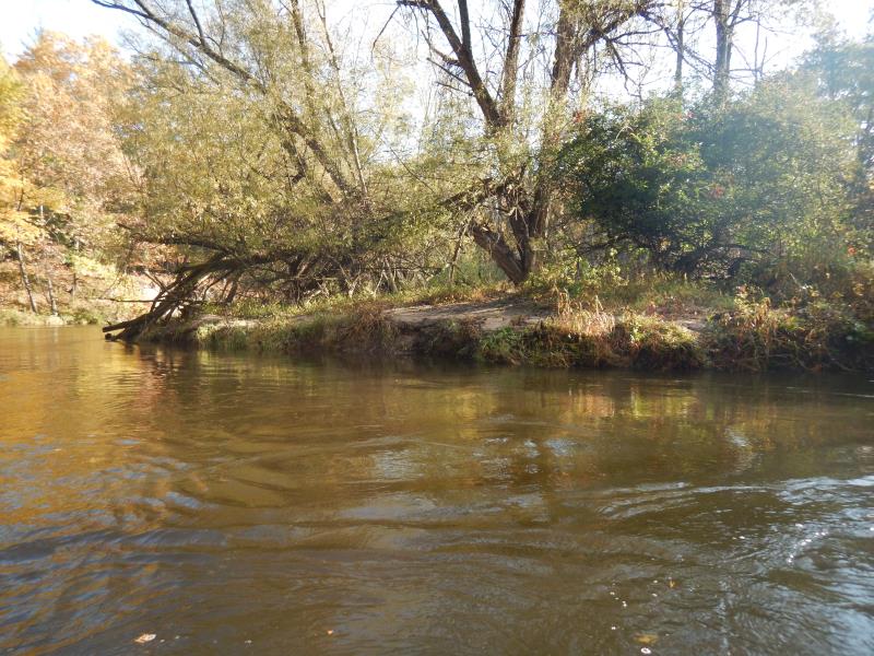
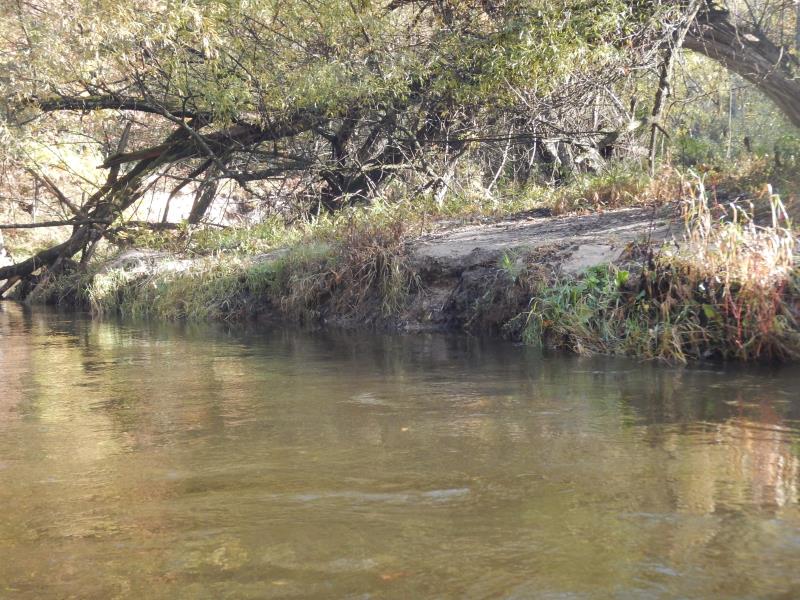
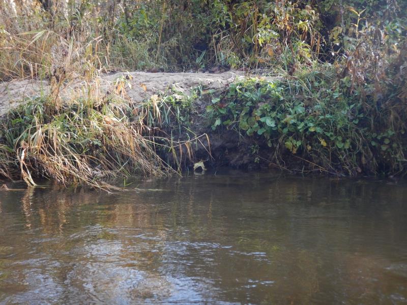
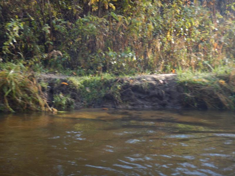
Stream Bank Erosion Site PM-221
Total Severity: Minor
Total Points: 27
Information collected by:
Pere Marquette RIver Watershed,
Pere Marquette River
Sweetwater Twp,
Lake County
GPS Coordinates: 43.93
, -86.02516
T18N
R14W
Sec 30
Owned by USA
2019
2019
2019
2019
2019
Bank Details
Which Bank? Left
Bank Aspect:W
Condition:Toe is undercutting
Erosion Trend:Increasing
Percent Veg. Cover: 10-50%
Bank Conditions
Stream Width:40 ft.
Stream Depth:5 ft.
Stream Current:Slow
Eroded Bank Length:75 ft.
Eroded Bank Height:2 ft.
Slope of Eroded Bank:1:1
Texture: Loam
Cause(s) of Erosion
-Foot traffic
Recommended Treatment(s)
-Bank revegetation
-Rock riprap
General Information
Project Details
Year Inventory Completed: 2019
Total Points
27
�