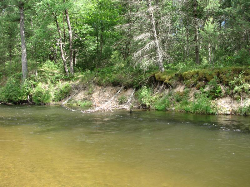
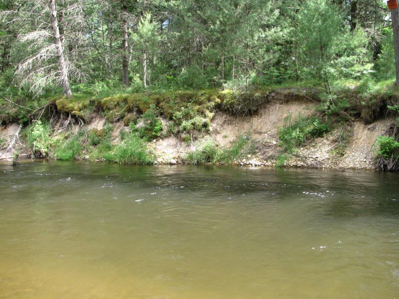
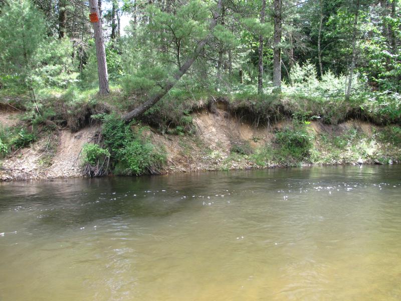
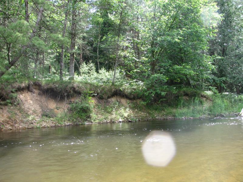
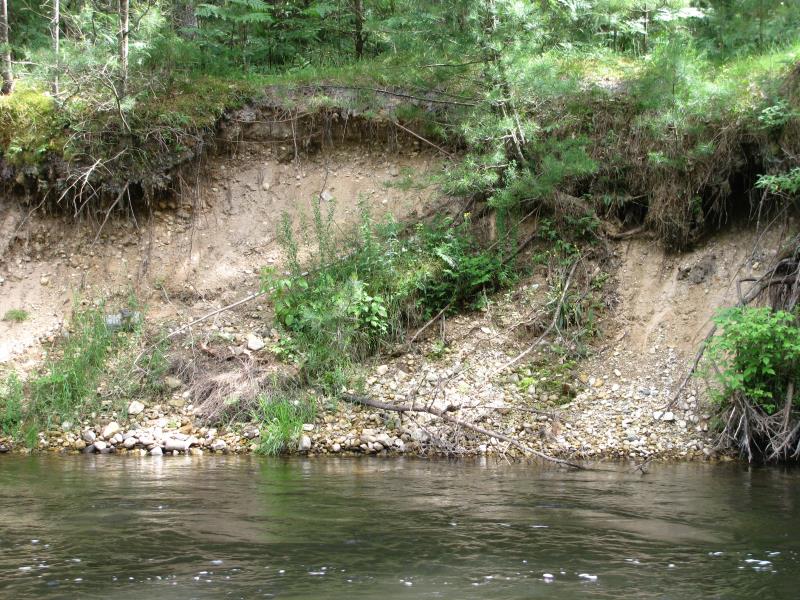
Stream Bank Erosion Site PM-324
Total Severity: Minor
Total Points: 27
Information collected by:
Pere Marquette RIver Watershed,
Pere Marquette River
Pleasant Plains Twp,
Lake County
GPS Coordinates: 43.86691
, -85.8945
T17N
R13W
Sec 18
Owned by Private
2016
2016
2016
2016
2016
Bank Details
Which Bank? Left
Bank Aspect:NW
Condition:Toe is stable, upper bank eroding
Erosion Trend:Increasing
Percent Veg. Cover: 10-50%
Bank Conditions
Stream Width:35 ft.
Stream Depth:5 ft.
Stream Current:Medium
Eroded Bank Length:125 ft.
Eroded Bank Height:10 ft.
Slope of Eroded Bank:2:1
Texture: Stratified
Cause(s) of Erosion
-Bend in river
Recommended Treatment(s)
-Bank revegetation
-Rock riprap
General Information
Project Details
Year Inventory Completed: 2016
Total Points
27
�