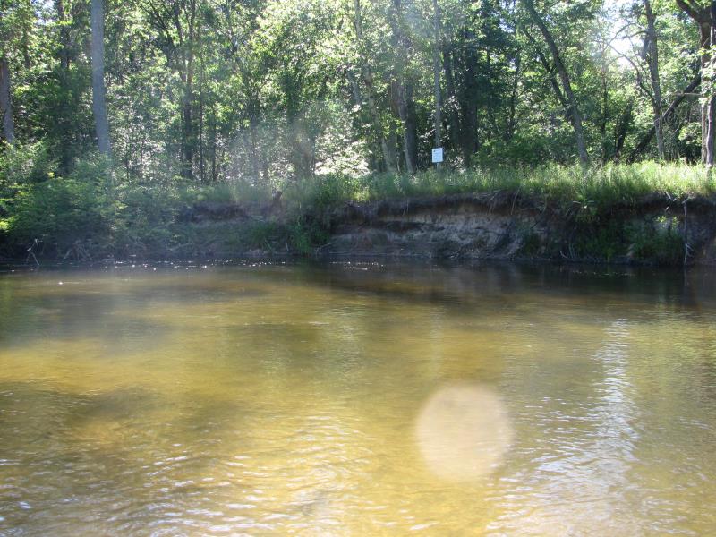
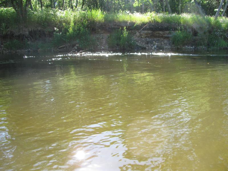
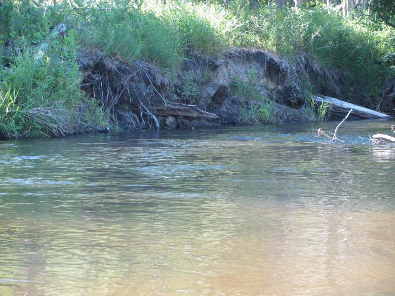
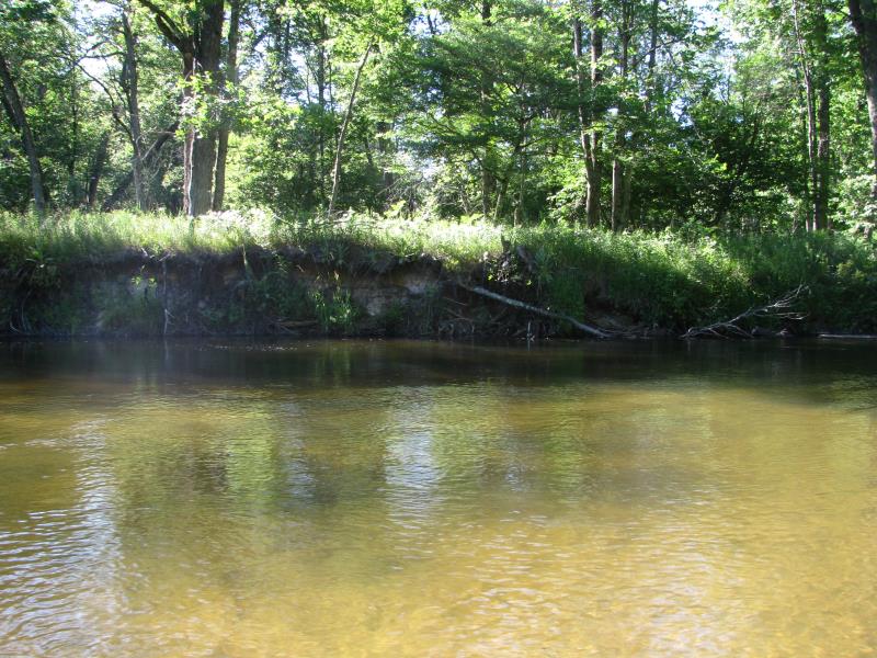
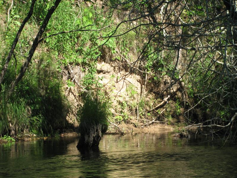
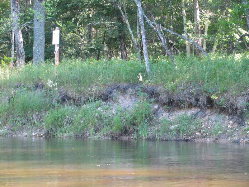
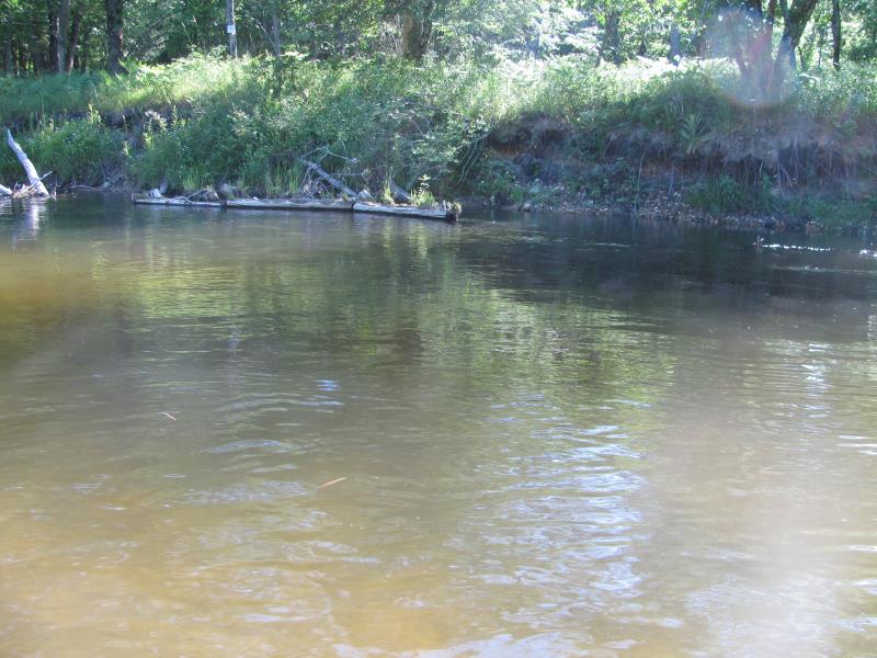
Stream Bank Erosion Site PM-332
Total Severity: Severe
Total Points: 37
Information collected by:
Pere Marquette RIver Watershed,
Pere Marquette River
Sweetwater Twp,
Lake County
GPS Coordinates: 43.92046
, -85.97485
T18N
R14W
Sec 27
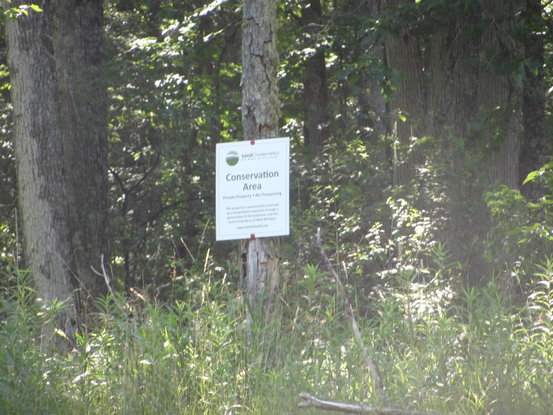
Owned by Private
2016
2016
2016
2016
2016
2016
2016
2016
2016
2016
2016
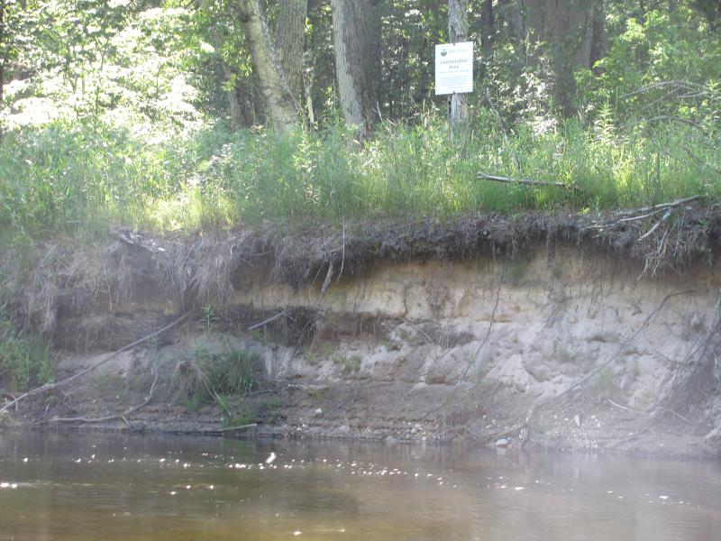
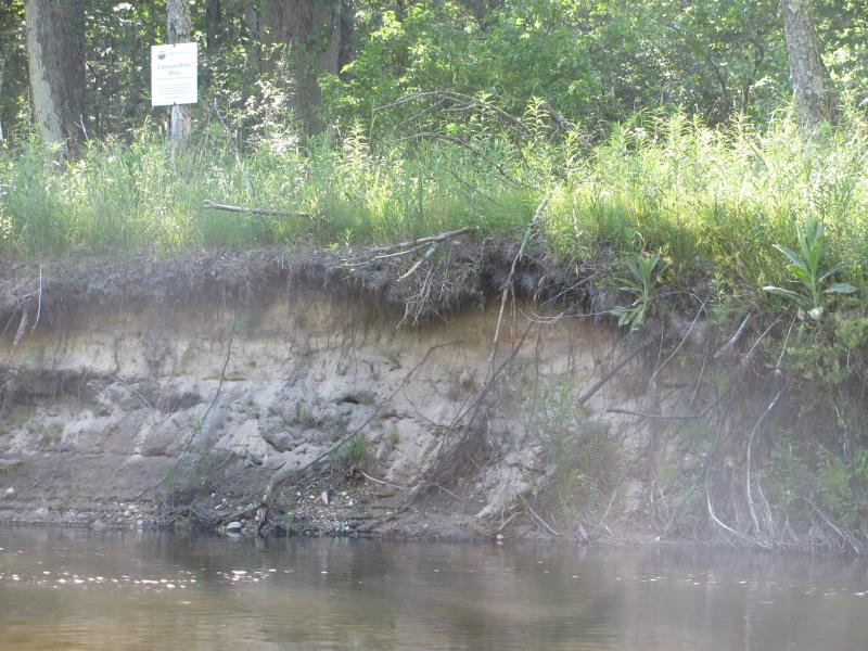
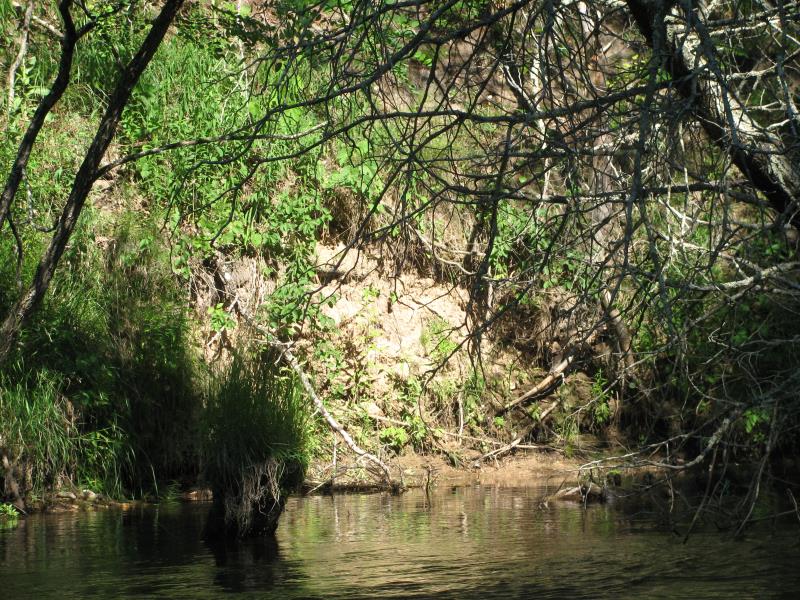
Bank Details
Which Bank? Left
Bank Aspect:W
Condition:Both toe and upper bank eroding
Erosion Trend:Increasing
Percent Veg. Cover: 0-10%
Bank Conditions
Stream Width:50 ft.
Stream Depth:4 ft.
Stream Current:Medium
Eroded Bank Length:60 ft.
Eroded Bank Height:10 ft.
Slope of Eroded Bank:1:1
Texture: Sand
Cause(s) of Erosion
-Bend in river
Recommended Treatment(s)
-Bank revegetation
-Rock riprap
General Information
Project Details
Year Inventory Completed: 2016
Total Points
37
�