Stream Bank Erosion Site 9S01
Total Severity: Moderate
Total Points: 32
Information collected by:
Thunder Bay River Watershed,
Thunder Bay River
Alpena,
Alpena County
GPS Coordinates: 45.0644982401288
, -83.4628481004151
T31N
R8E
Sec 21
Owned by Local Government
Site Access:Yes
Distance to road:500 ft.
2018
2019
2020
2021
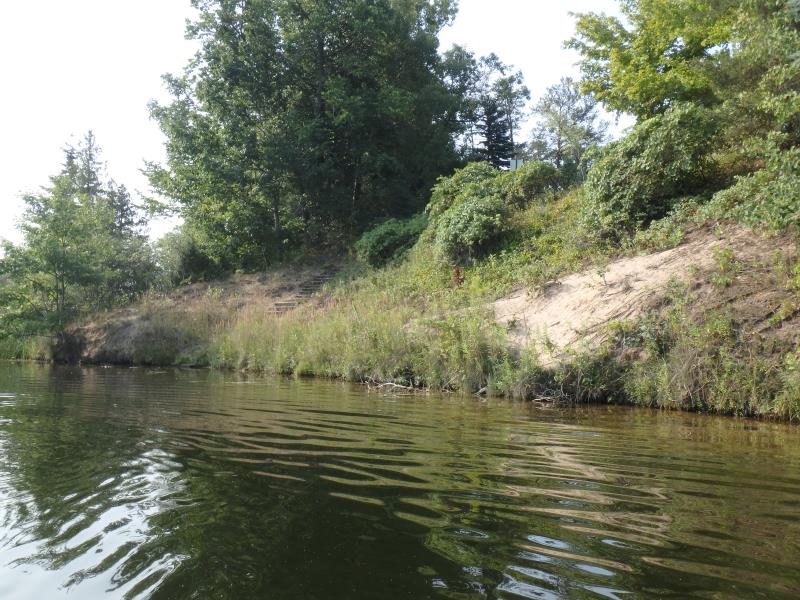
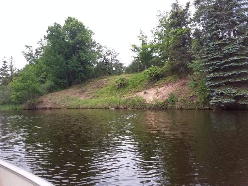
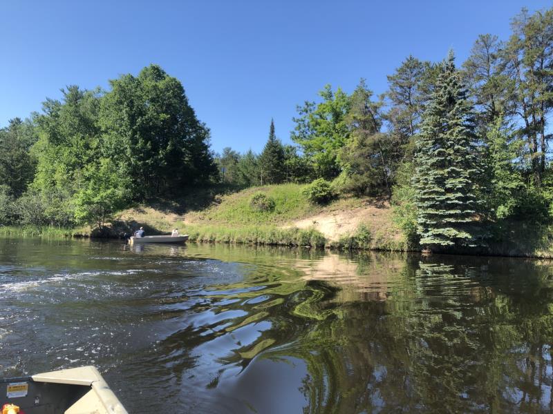
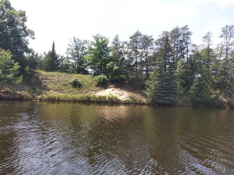
Bank Details
Which Bank? Right
Bank Aspect:East
Condition:Toe and upper bank eroding
Erosion Trend:Stable
Percent Veg. Cover: 51-100%
Bank Conditions
Stream Width:200 ft.
Stream Depth:0.5 ft.
Stream Current:Slow
Eroded Bank Length:150 ft.
Eroded Bank Height:25 ft.
Slope of Eroded Bank:Vertical to 1H:1V
Texture: Sand
Cause(s) of Erosion
-Foot traffic
Recommended Treatment(s)
General Information
Project Details
Year Inventory Completed: 2021
Total Points
32
�