Stream Bank Erosion Site 9S15
Total Severity: Minor
Total Points: 25
Information collected by:
Thunder Bay River Watershed,
Thunder Bay River
Alpena,
Alpena County
GPS Coordinates: 45.0681462
, -83.4494292
T31N
R8E
Sec 22
Owned by County
Site Access:Yes
Distance to road:5 ft.
2021
Bank Details
Which Bank? Right
Bank Aspect:North
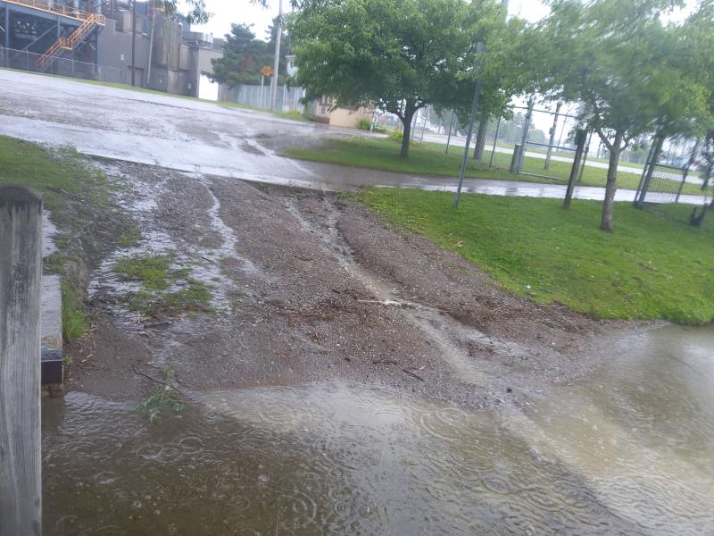
Condition:Toe and upper bank eroding
Erosion Trend:Increasing
Percent Veg. Cover: 0-10%
Bank Conditions
Stream Width:160 ft.
Stream Depth:1 ft.
Stream Current:Slow
Eroded Bank Length:15 ft.
Eroded Bank Height:3 ft.
Slope of Eroded Bank:4H:1V or flatter
Texture: Gravel
Cause(s) of Erosion
Other causes: Boat launch
Recommended Treatment(s)
General Information
Project Details
Year Inventory Completed: 2021
Total Points
25
�