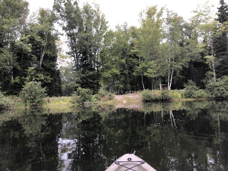
Stream Bank Erosion Site NPS12
Total Severity: Minor
Total Points: 22
Information collected by:
Thunder Bay River Watershed,
Thunder Bay River
Wilson Twp,
Alpena County
GPS Coordinates: 45.05504
, -83.58519
T31N
R7E
Sec 28
Owned by Private
2020
Bank Details
Which Bank? Left
Bank Aspect:Southeast
Condition:Toe and upper bank eroding
Erosion Trend:Decreasing
Percent Veg. Cover: 11-50%
Bank Conditions
Stream Width:240 ft.
Stream Depth:3 ft.
Stream Current:Slow
Eroded Bank Length:15 ft.
Eroded Bank Height:5 ft.
Slope of Eroded Bank:2H:1V
Texture: Sand
Cause(s) of Erosion
-Foot traffic
Recommended Treatment(s)
Other Treatments:Rest from foot traffic
General Information
Project Details
Year Inventory Completed: 2021
Total Points
22
�