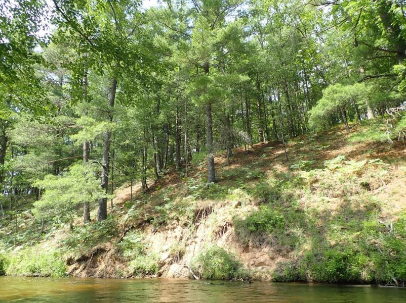
Stream Bank Erosion Site LM#81-2021
Total Severity: Moderate
Total Points: 25
Information collected by:
Little Manistee River Watershed,
Little Manistee River
Stronach Twp,
Manistee County
GPS Coordinates: 44.17423
, -86.13521
T21N
R15W
Sec 33
Owned by Private
2021
Bank Details
Which Bank? Right
Bank Aspect:NE
Condition:Both toe and upper bank eroding
Erosion Trend:Increasing
Percent Veg. Cover: 50-100%
Bank Conditions
Stream Width:40 ft.
Stream Depth:2 ft.
Stream Current:Fast
Eroded Bank Length:20 ft.
Eroded Bank Height:10 ft.
Slope of Eroded Bank:1:1
Texture: Stratified
Cause(s) of Erosion
-Bend in river
Recommended Treatment(s)
General Information
Project Details
Year Inventory Completed: 2021
Total Points
25
�