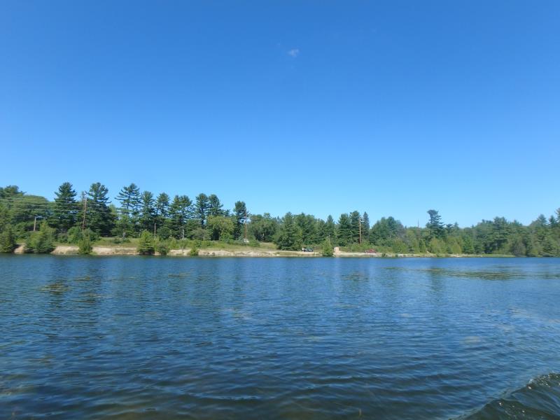
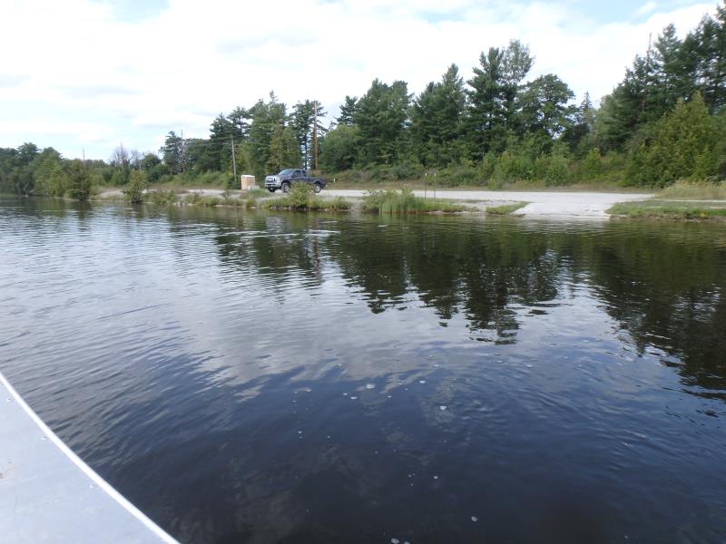
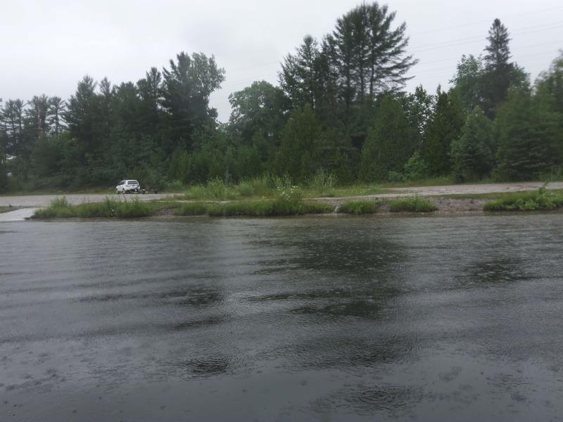
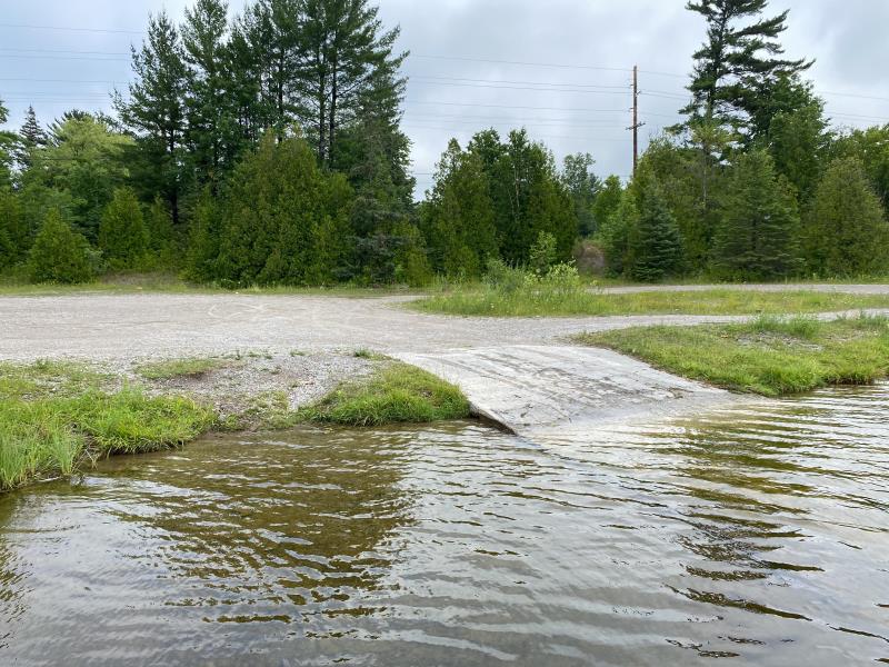
Stream Bank Erosion Site 4M2
Total Severity: Minor
Total Points: 23
Information collected by:
Thunder Bay River Watershed,
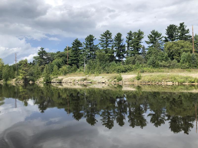
Thunder Bay River
Alpena,
Alpena County
GPS Coordinates: 45.0999521208294
, -83.5094175010214
T31N
R8E
Sec 7
Owned by Private
Site Access:Yes
Distance to road:100 ft.
2016
2017
2019
2020
2021
2022
Bank Details
Which Bank? Left
Bank Aspect:Southeast
Condition:Toe is stable upper bank eroding
Erosion Trend:Stable
Percent Veg. Cover: 0-10%
Bank Conditions
Stream Width:1000 ft.
Stream Depth:3 ft.
Stream Current:Slow
Eroded Bank Length:100 ft.
Eroded Bank Height:3 ft.
Slope of Eroded Bank:2H:1V
Texture: Gravel
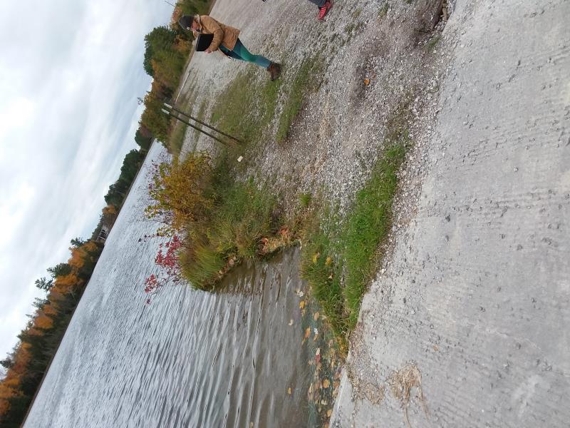
Cause(s) of Erosion
-Foot traffic
Recommended Treatment(s)
General Information
Project Details
Year Inventory Completed: 2022
Total Points
23
�