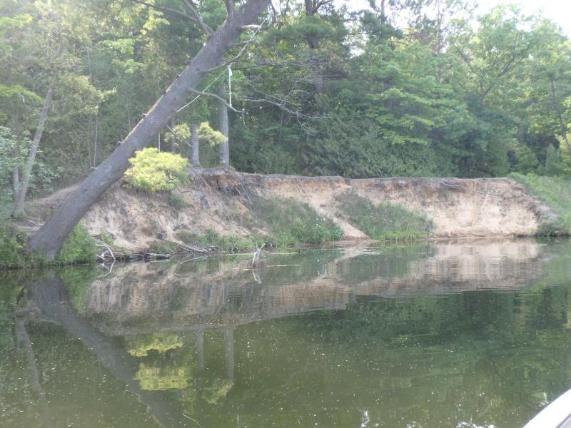
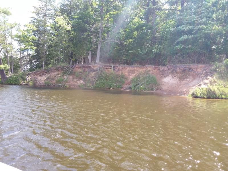
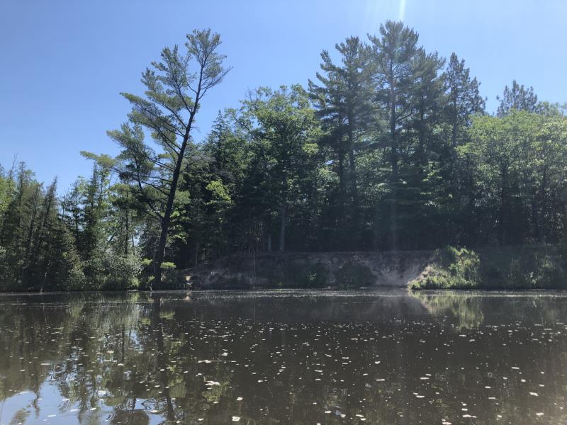
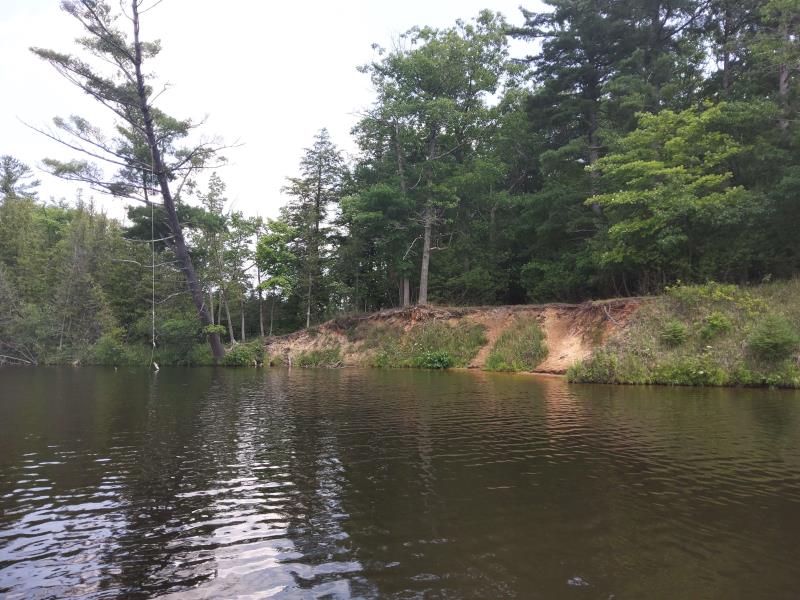
Stream Bank Erosion Site 9S05
Total Severity: Minor
Total Points: 31
Information collected by:
Thunder Bay River Watershed,
Thunder Bay River
Alpena,
Alpena County
GPS Coordinates: 45.06861178
, -83.4677180899999
T31N
R8E
Sec 21
Owned by other
Site Access:No
2018
2019
2020
2021
2022
2022
Bank Details
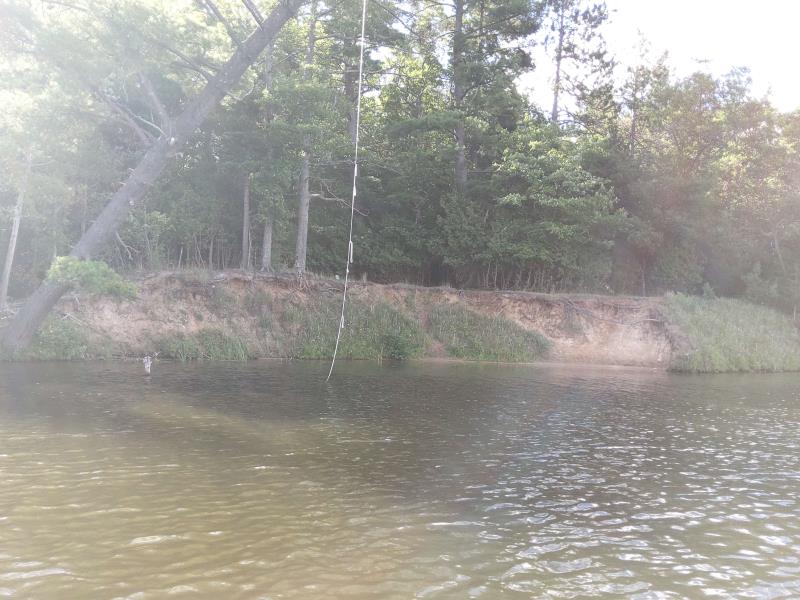
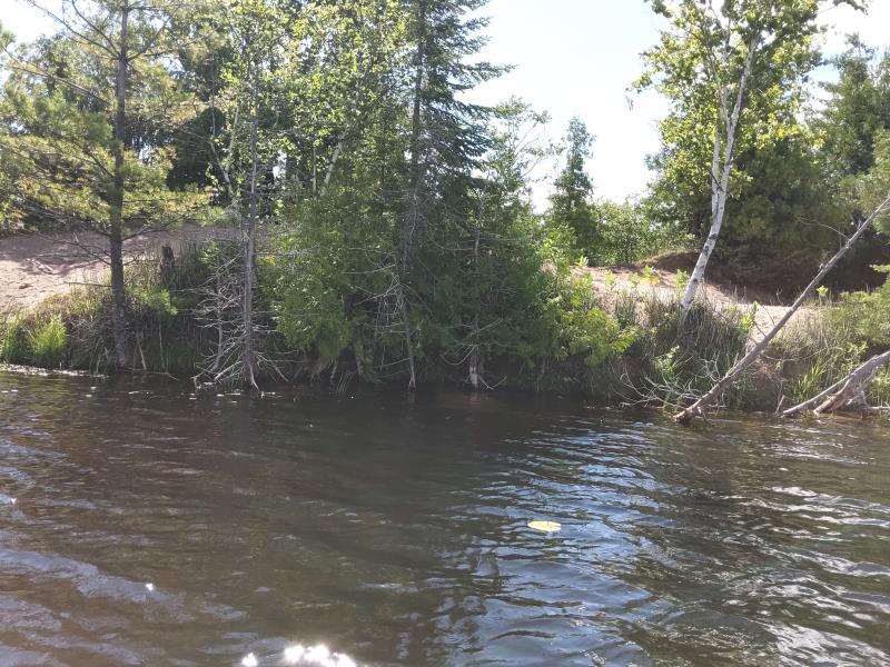
Which Bank? Right
Bank Aspect:Northwest
Condition:Toe and upper bank eroding
Erosion Trend:Stable
Percent Veg. Cover: 51-100%
Bank Conditions
Stream Width:200 ft.
Stream Depth:0.5 ft.
Stream Current:Slow
Eroded Bank Length:175 ft.
Eroded Bank Height:12 ft.
Slope of Eroded Bank:Vertical to 1H:1V
Texture: Sand
Cause(s) of Erosion
-Foot traffic
Recommended Treatment(s)
General Information
Project Details
Year Inventory Completed: 2022
Total Points
31
�