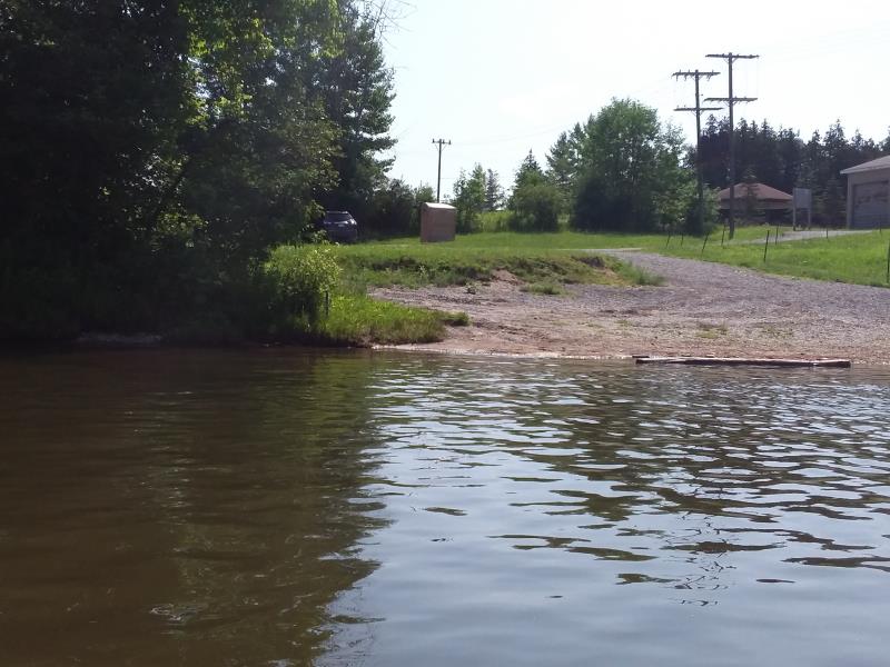
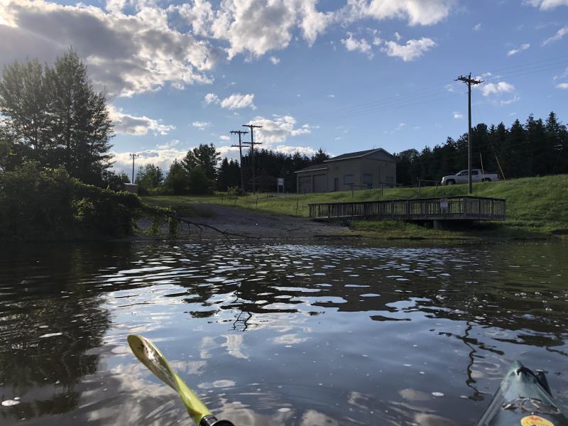
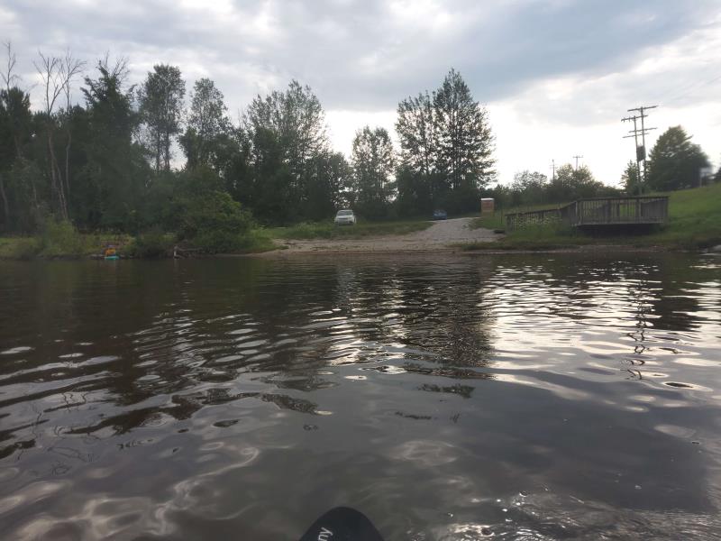
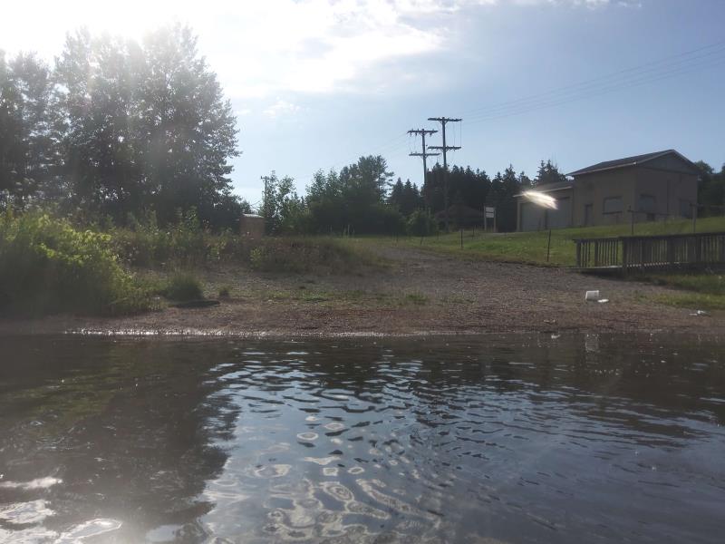
Stream Bank Erosion Site HEA01
Total Severity: Minor
Total Points: 20
Information collected by:
Thunder Bay River Watershed,
Thunder Bay River
Hillman Twp,
Montmorency County
GPS Coordinates: 45.06183627
, -83.90285084
T31N
R4E
Sec 23
Owned by other
Site Access:Yes
Distance to road:50 ft.
2019
2020
2021
2022
Bank Details
Which Bank? Right
Bank Aspect:West
Condition:Toe is stable upper bank eroding
Erosion Trend:Increasing
Percent Veg. Cover: 0-10%
Bank Conditions
Stream Width:150 ft.
Stream Depth:1 ft.
Stream Current:Slow
Eroded Bank Length:40 ft.
Eroded Bank Height:5 ft.
Slope of Eroded Bank:3H:1V
Texture: Gravel
Cause(s) of Erosion
-Foot traffic
Recommended Treatment(s)
General Information
Project Details
Year Inventory Completed: 2022
Total Points
20
�