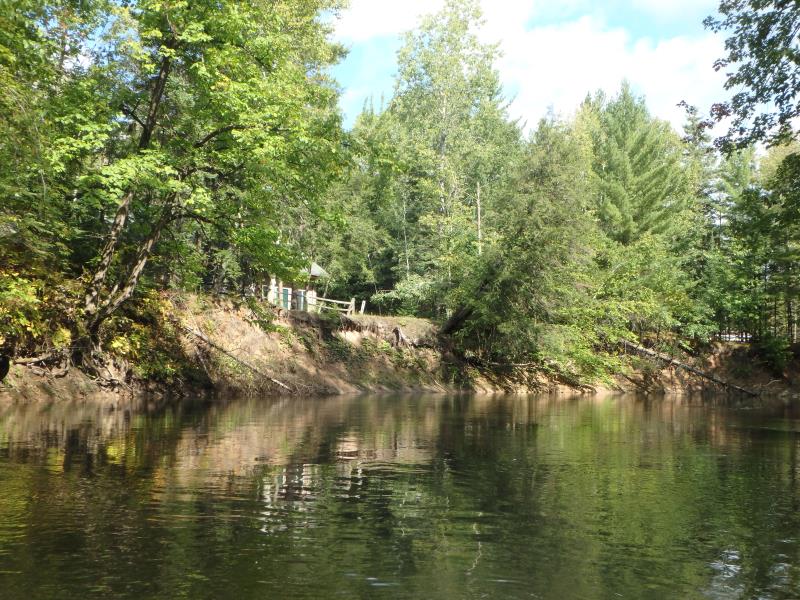
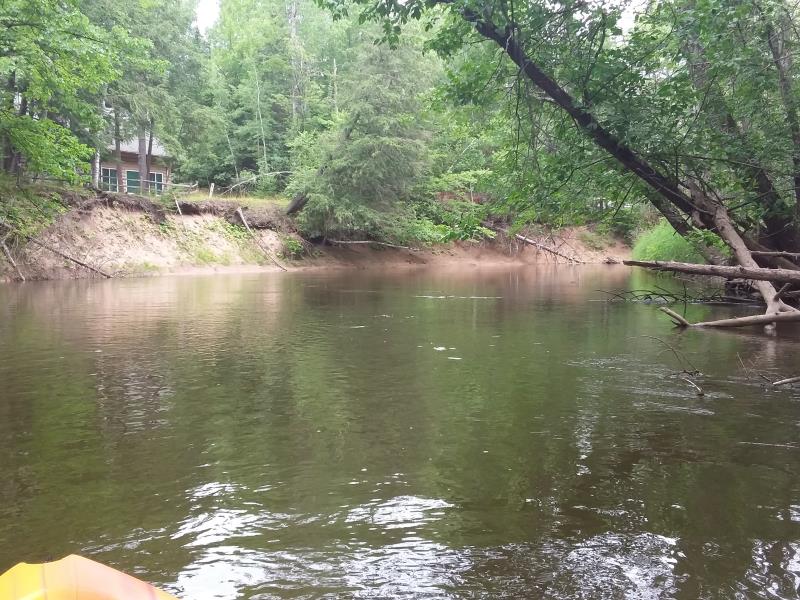
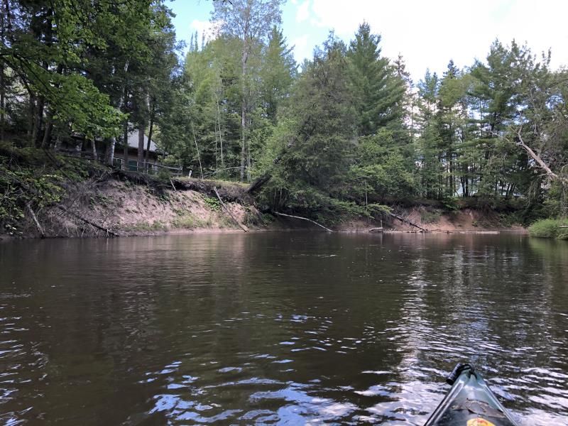
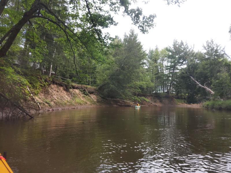
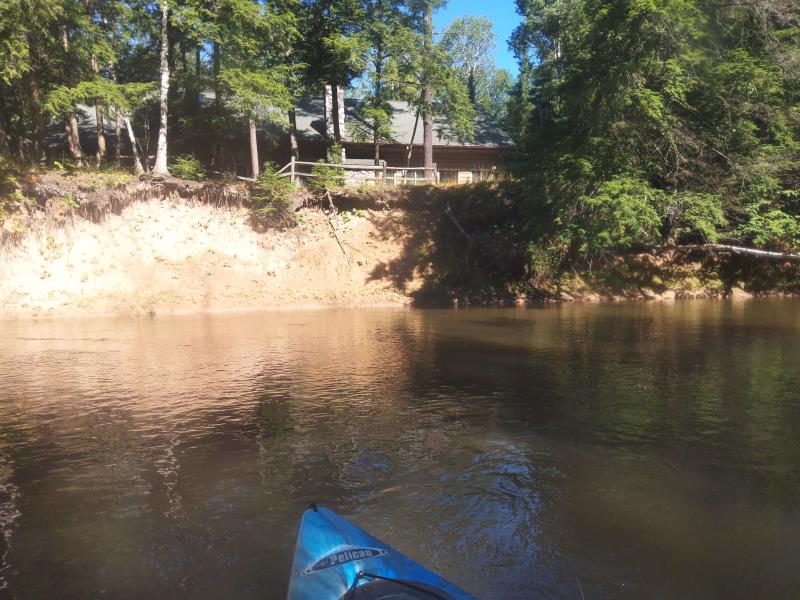
Stream Bank Erosion Site HEA11
Total Severity: Moderate
Total Points: 30
Information collected by:
Thunder Bay River Watershed,
Thunder Bay River
Hillman Twp,
Montmorency County
GPS Coordinates: 45.06695796
, -83.88055428
T31N
R4E
Sec 24
Owned by Private
Site Access:No
2018
2019
2020
2021
2022
Bank Details
Which Bank? Left
Bank Aspect:Southeast
Condition:Toe and upper bank eroding
Erosion Trend:Stable
Percent Veg. Cover: 0-10%
Bank Conditions
Stream Width:45 ft.
Stream Depth:2 ft.
Stream Current:Slow
Eroded Bank Length:700 ft.
Eroded Bank Height:15 ft.
Slope of Eroded Bank:2H:1V
Texture: Sand, Loam
Cause(s) of Erosion
-Bend in river
-Foot traffic
Recommended Treatment(s)
General Information
Project Details
Year Inventory Completed: 2022
Total Points
30
�