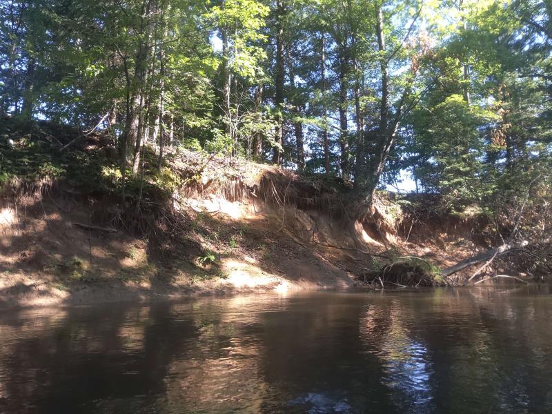
Stream Bank Erosion Site HEA07
Total Severity: Minor
Total Points: 28
Information collected by:
Thunder Bay River Watershed,
Thunder Bay River
Hillman Twp,
Montmorency County
GPS Coordinates: 45.0669501300001
, -83.8880775599999
T31N
R4E
Sec 24
Owned by other
Site Access:No
2018
2019
2020
2021
2022
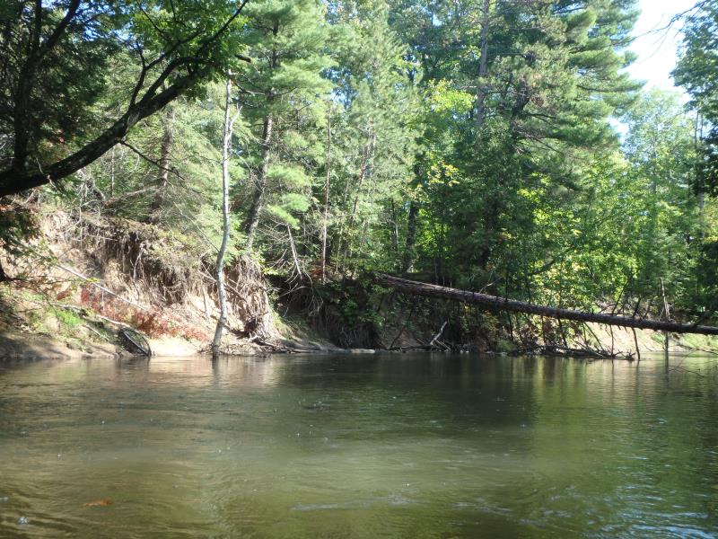
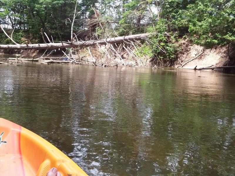
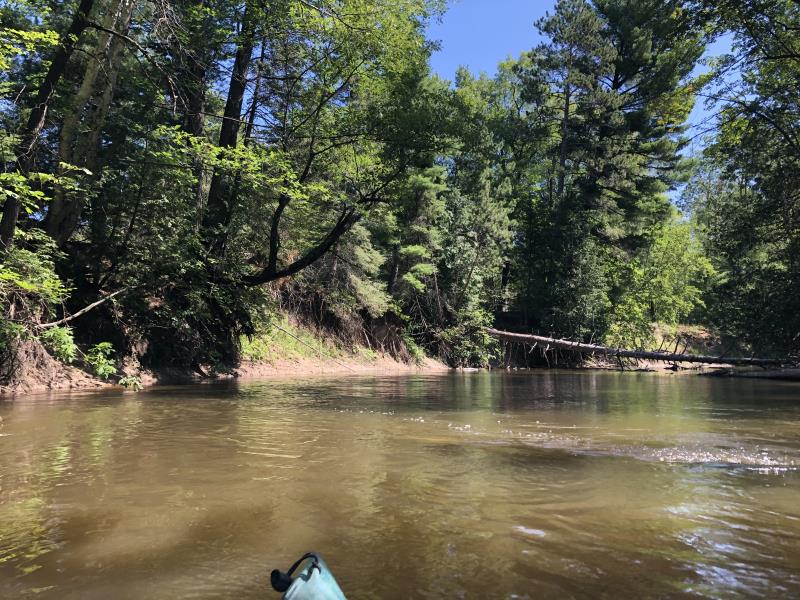
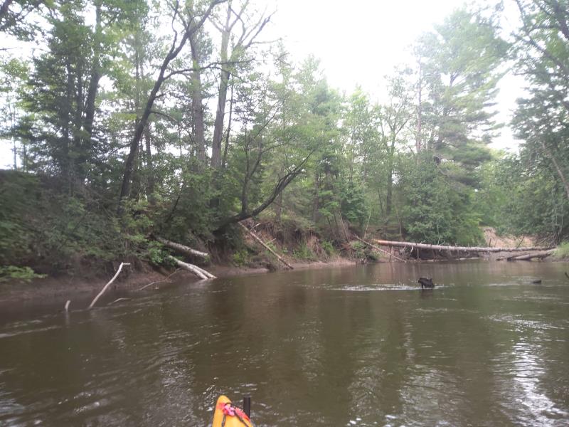
Bank Details
Which Bank? Left
Bank Aspect:South
Condition:Toe is stable upper bank eroding
Erosion Trend:Stable
Percent Veg. Cover: 11-50%
Bank Conditions
Stream Width:50 ft.
Stream Depth:3 ft.
Stream Current:Slow
Eroded Bank Length:250 ft.
Eroded Bank Height:15 ft.
Slope of Eroded Bank:Vertical to 1H:1V
Texture: Loam, Sand over Clay
Cause(s) of Erosion
-Bend in river
Recommended Treatment(s)
General Information
Project Details
Year Inventory Completed: 2022
Total Points
28
�