Stream Bank Erosion Site BC-03
Total Severity: Minor
Total Points: 22
Information collected by:
Bear Creek Watershed,
Bear Creek
Maple Grove Twp,
Manistee County
GPS Coordinates: 44.36165
, -86.04946
T23N
R14W
Sec 30
Bank Details
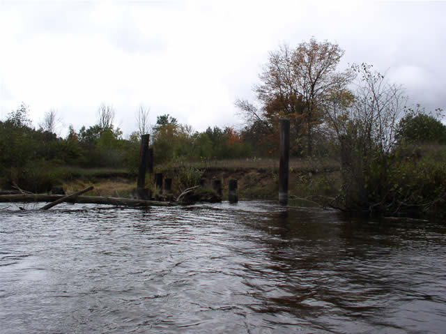
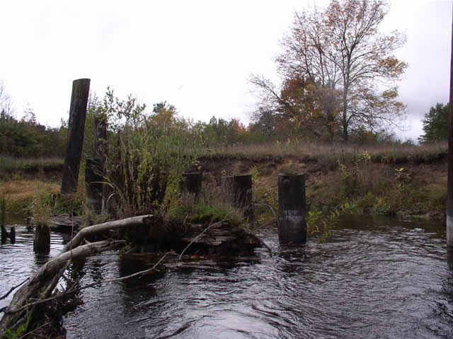
Which Bank? Right
Bank Aspect:E
Condition:Toe is stable; upper bank eroding
Erosion Trend:Increasing
Percent Veg. Cover: 50-100%
Bank Conditions
Stream Width:60 ft.
Stream Depth:2 ft.
Stream Current:Slow
Eroded Bank Length:80 ft.
Eroded Bank Height:4 ft.
Slope of Eroded Bank:3:1
Texture: Sand
Cause(s) of Erosion
-Obstructions in river
Recommended Treatment(s)
-Obstruction removal
General Information
old pilings from bridge still remain in water
Total Points
22
�