Stream Bank Erosion Site BGMN-009
Total Severity: Minor
Total Points: 19
Information collected by:
Big Manistee River Watershed,
Liberty Twp,
Wexford County
GPS Coordinates: 44.48999
, -85.4357
T24N
R9W
Sec 8
Owned by State
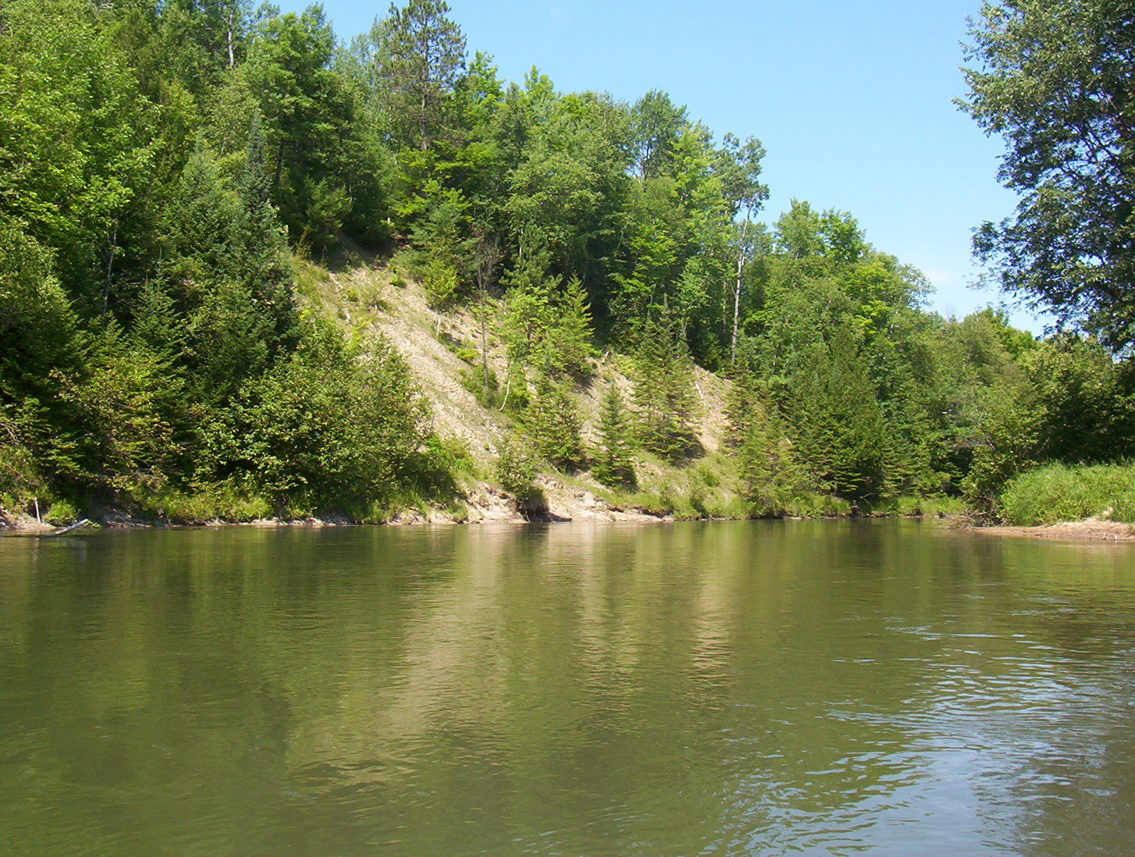
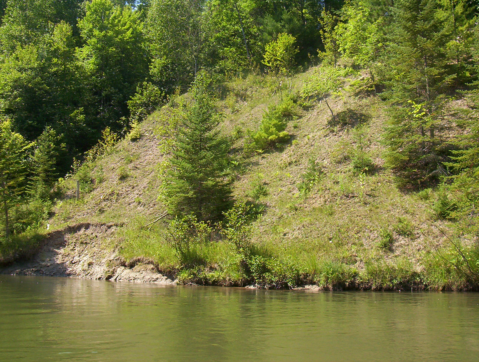
Bank Details
Which Bank? Left
Bank Aspect:NE
Condition:Toe is undercutting
Erosion Trend:Stable
Percent Veg. Cover: 50-100%
Bank Conditions
Stream Width:50 ft.
Stream Depth:4 ft.
Stream Current:Slow
Eroded Bank Length:30 ft.
Eroded Bank Height:8 ft.
Slope of Eroded Bank:3:1
Texture: Stratified
Cause(s) of Erosion
Other causes: high H20 level
Recommended Treatment(s)
Other Treatments:no action
General Information
Total Points
19
�