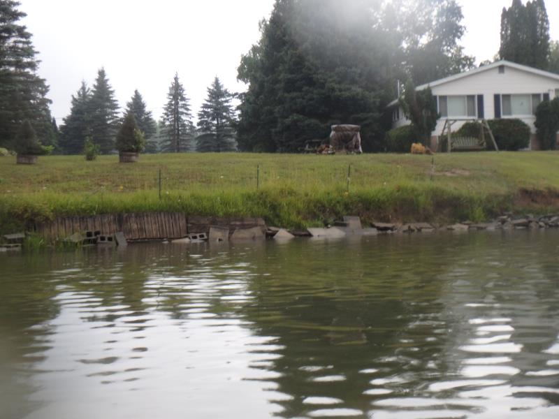
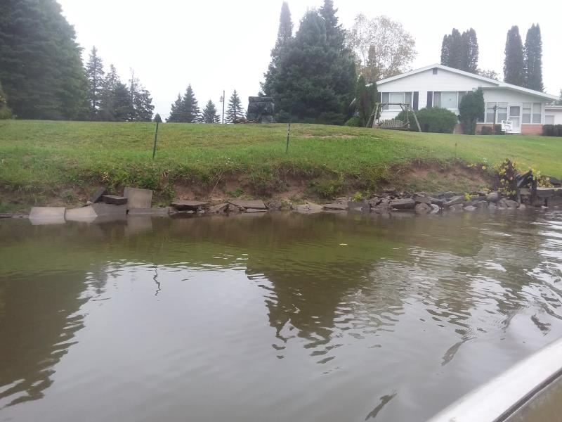
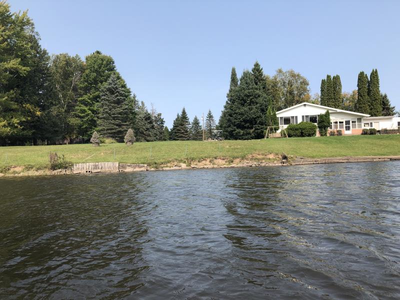
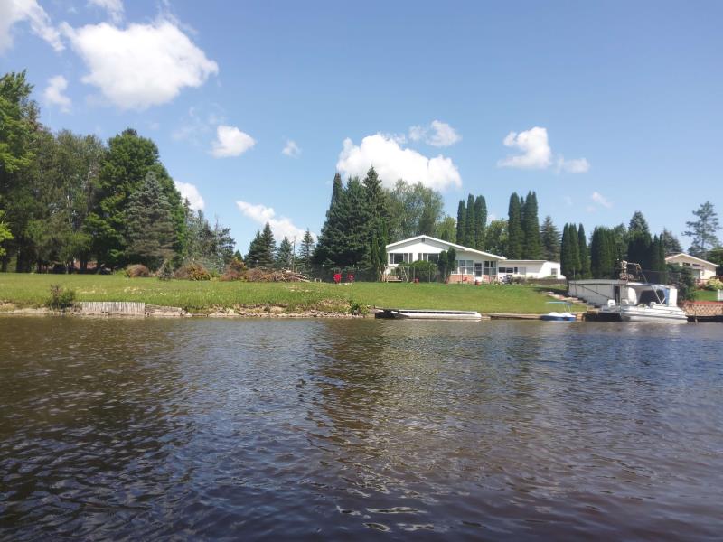
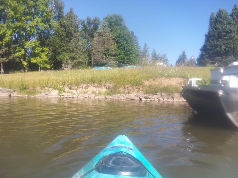
Stream Bank Erosion Site NPN07
Total Severity: Minor
Total Points: 26
Information collected by:
Thunder Bay River Watershed,
Thunder Bay River
Maple Ridge Twp,
Alpena County
GPS Coordinates: 45.12558334
, -83.61374011
T32N
R7E
Sec 32
Owned by Private
Site Access:No
2018
2019
2020
2021
2022
Bank Details
Which Bank? Left
Bank Aspect:Southeast
Condition:Toe and upper bank eroding
Erosion Trend:Stable
Percent Veg. Cover: 11-50%
Bank Conditions
Stream Width:115 ft.
Stream Depth:2 ft.
Stream Current:Slow
Eroded Bank Length:100 ft.
Eroded Bank Height:5 ft.
Slope of Eroded Bank:2H:1V
Texture: Sand, Loam
Cause(s) of Erosion
-Bend in river
Recommended Treatment(s)
General Information
Project Details
Year Inventory Completed: 2022
Total Points
26
�