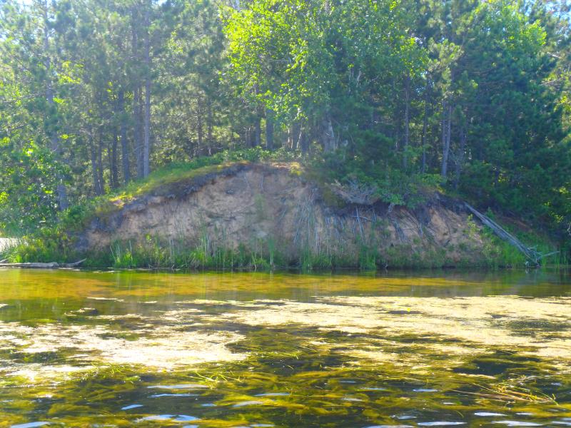
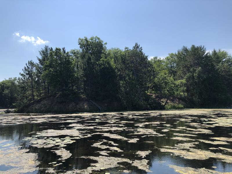
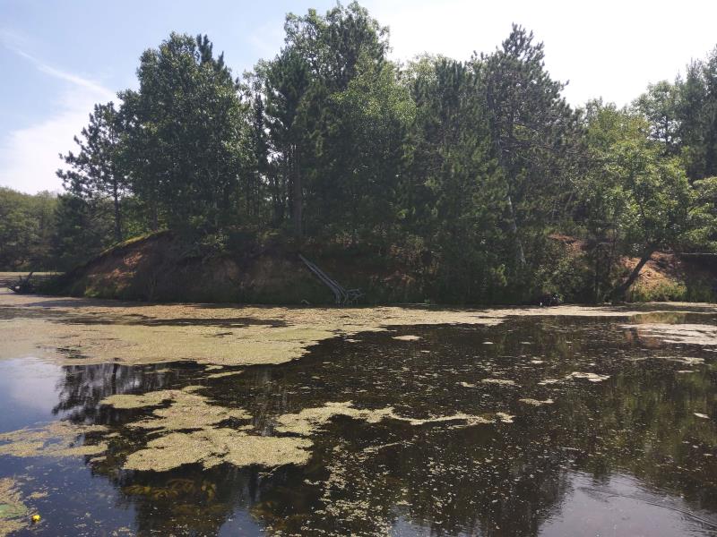
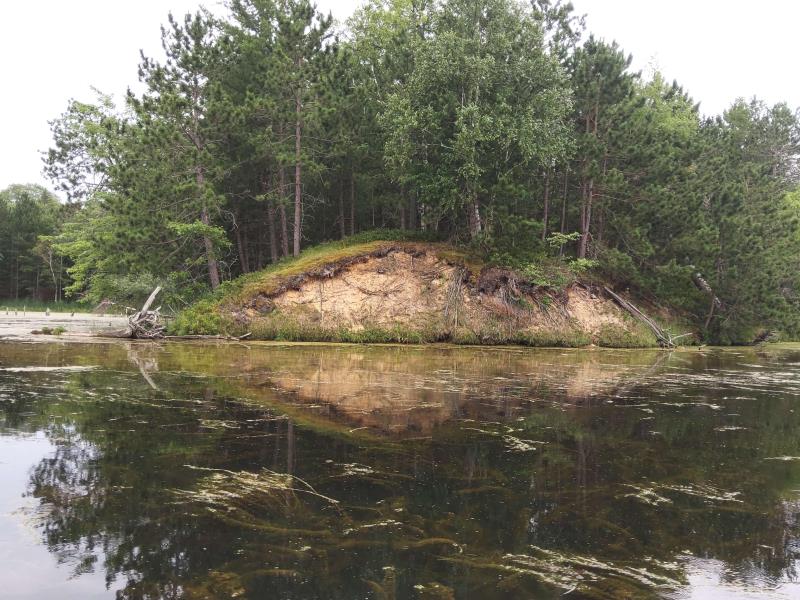
Stream Bank Erosion Site NPS05
Total Severity: Severe
Total Points: 29
Information collected by:
Thunder Bay River Watershed,
Thunder Bay River
Maple Ridge Twp,
Alpena County
GPS Coordinates: 45.0954067348018
, -83.5712025982187
T31N
R7E
Sec 10
Owned by County
Site Access:No
2019
2020
2021
2022
Bank Details
Which Bank? Right
Bank Aspect:East
Condition:Toe and upper bank eroding
Erosion Trend:Increasing
Percent Veg. Cover: 11-50%
Bank Conditions
Stream Width:1800 ft.
Stream Depth:0.25 ft.
Stream Current:Slow
Eroded Bank Length:100 ft.
Eroded Bank Height:15 ft.
Slope of Eroded Bank:Vertical to 1H:1V
Texture: Sand, Loam
Cause(s) of Erosion
-Bend in river
Recommended Treatment(s)
General Information
Project Details
Year Inventory Completed: 2022
Total Points
29
�