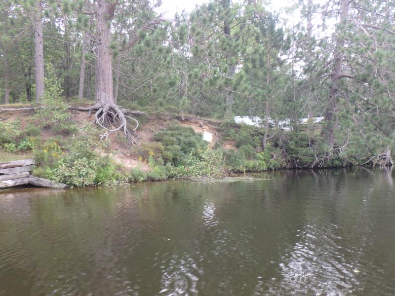
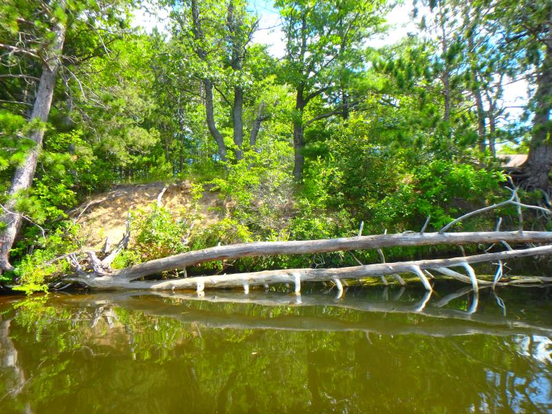
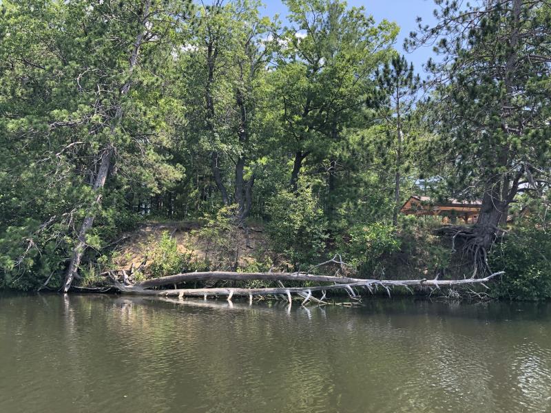
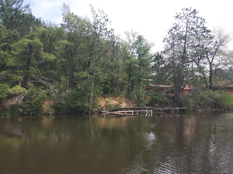
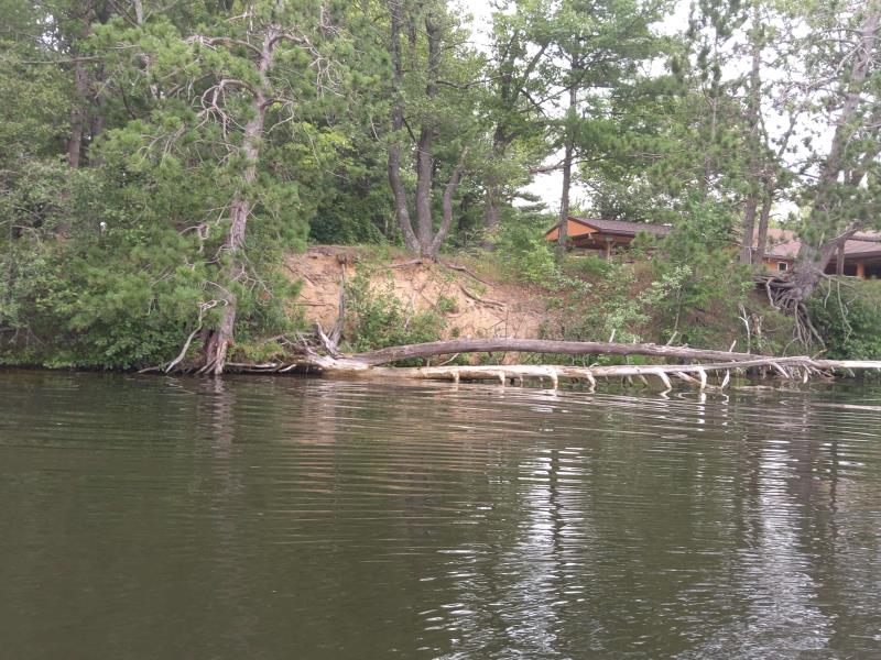
Stream Bank Erosion Site NPS08
Total Severity: Moderate
Total Points: 30
Information collected by:
Thunder Bay River Watershed,
Thunder Bay River
Maple Ridge Twp,
Alpena County
GPS Coordinates: 45.0837524500001
, -83.57526532
T31N
R7E
Sec 16
Owned by County
Site Access:Yes
Distance to road:50 ft.
2018
2019
2020
2021
2022
Bank Details
Which Bank? Right
Bank Aspect:West
Condition:Toe and upper bank eroding
Erosion Trend:Stable
Percent Veg. Cover: 11-50%
Bank Conditions
Stream Width:100 ft.
Stream Depth:2.5 ft.
Stream Current:Slow
Eroded Bank Length:30 ft.
Eroded Bank Height:15 ft.
Slope of Eroded Bank:Vertical to 1H:1V
Texture: Sand, Sand over Clay
Cause(s) of Erosion
-Bend in river
-Foot traffic
Recommended Treatment(s)
General Information
Project Details
Year Inventory Completed: 2022
Total Points
30
�