Stream Bank Erosion Site BGMN-010
Total Severity: Minor
Total Points: 20
Information collected by:
Big Manistee River Watershed,
Liberty Twp,
Wexford County
GPS Coordinates: 44.49608
, -85.4444
T24N
R9W
Sec 7
Owned by State
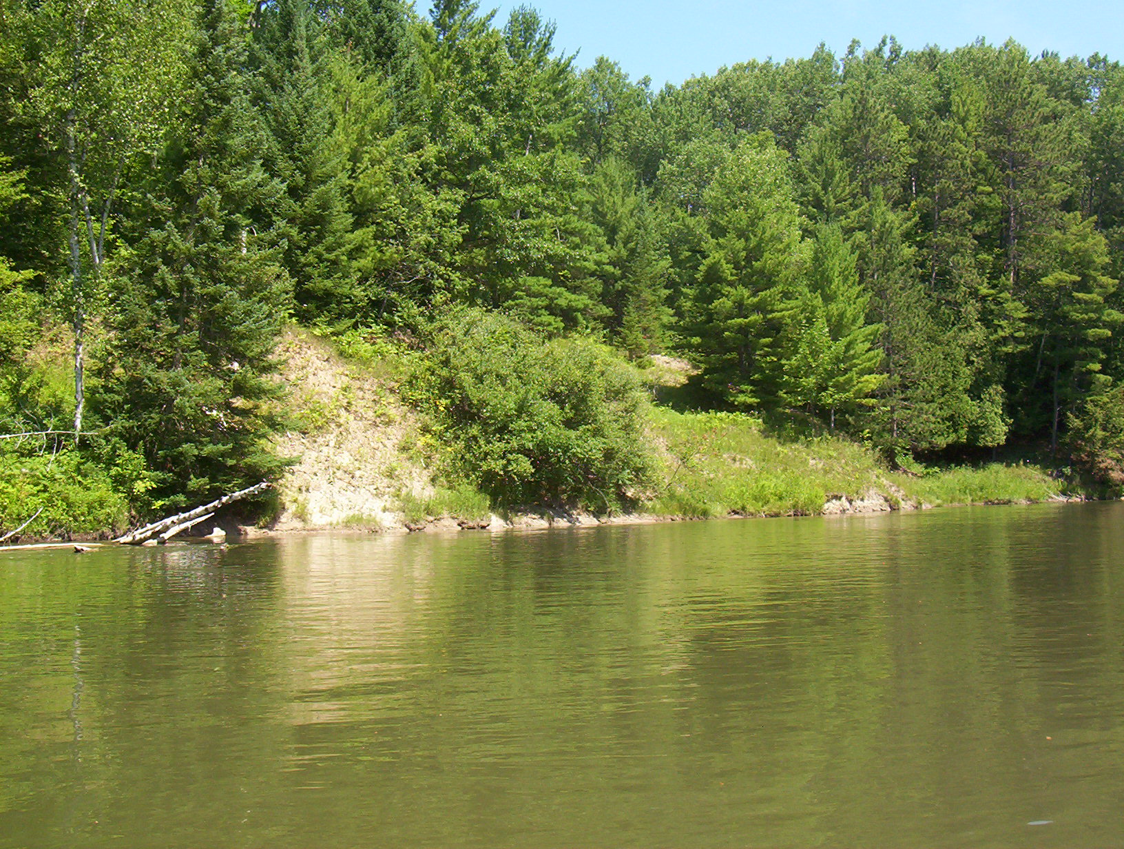
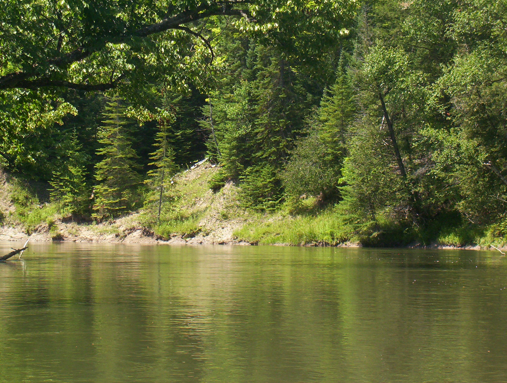
Bank Details
Which Bank? Right
Bank Aspect:SE
Condition:Toe is stable; upper bank eroding
Erosion Trend:Stable
Percent Veg. Cover: 50-100%
Bank Conditions
Stream Width:60 ft.
Stream Depth:3 ft.
Stream Current:Slow
Eroded Bank Length:80 ft.
Eroded Bank Height:15 ft.
Slope of Eroded Bank:3:1
Texture: Clay
Cause(s) of Erosion
-Bank seepage
Recommended Treatment(s)
-Tree revetments
General Information
Total Points
20
�