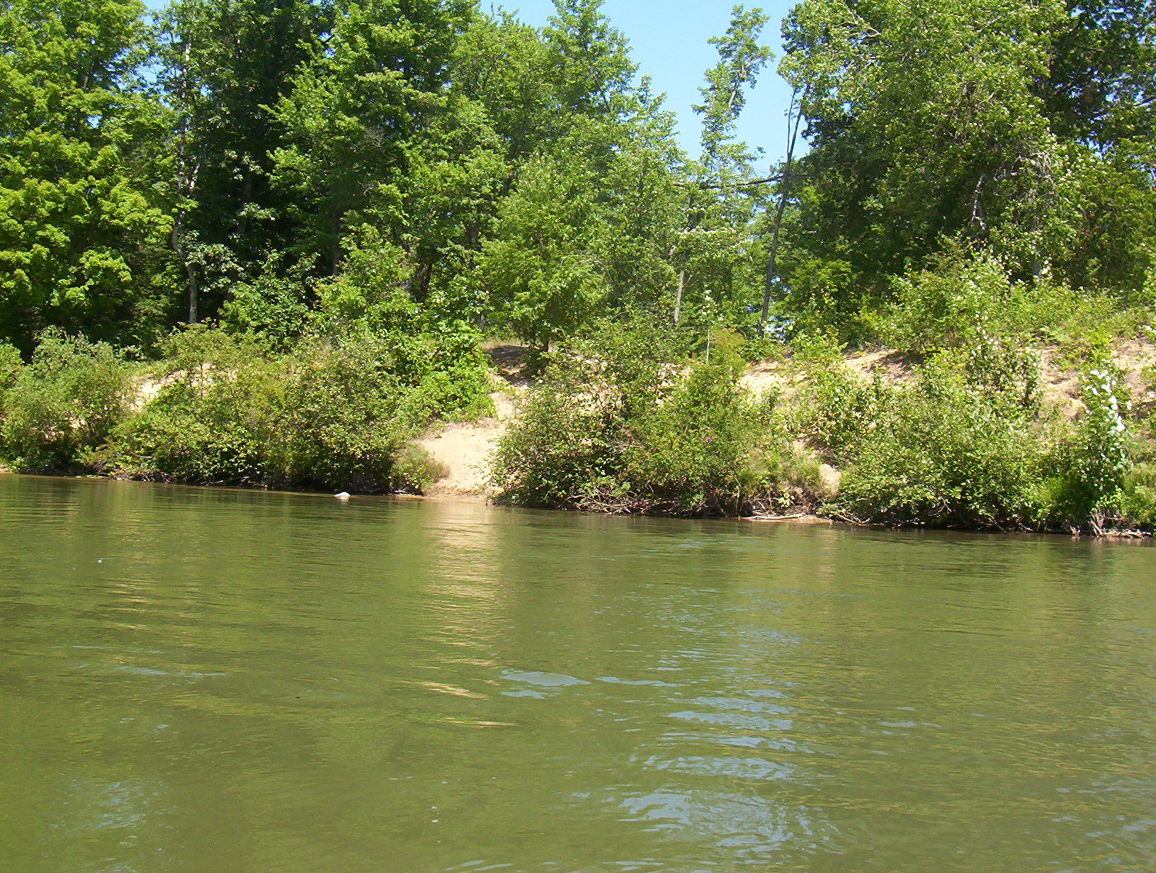
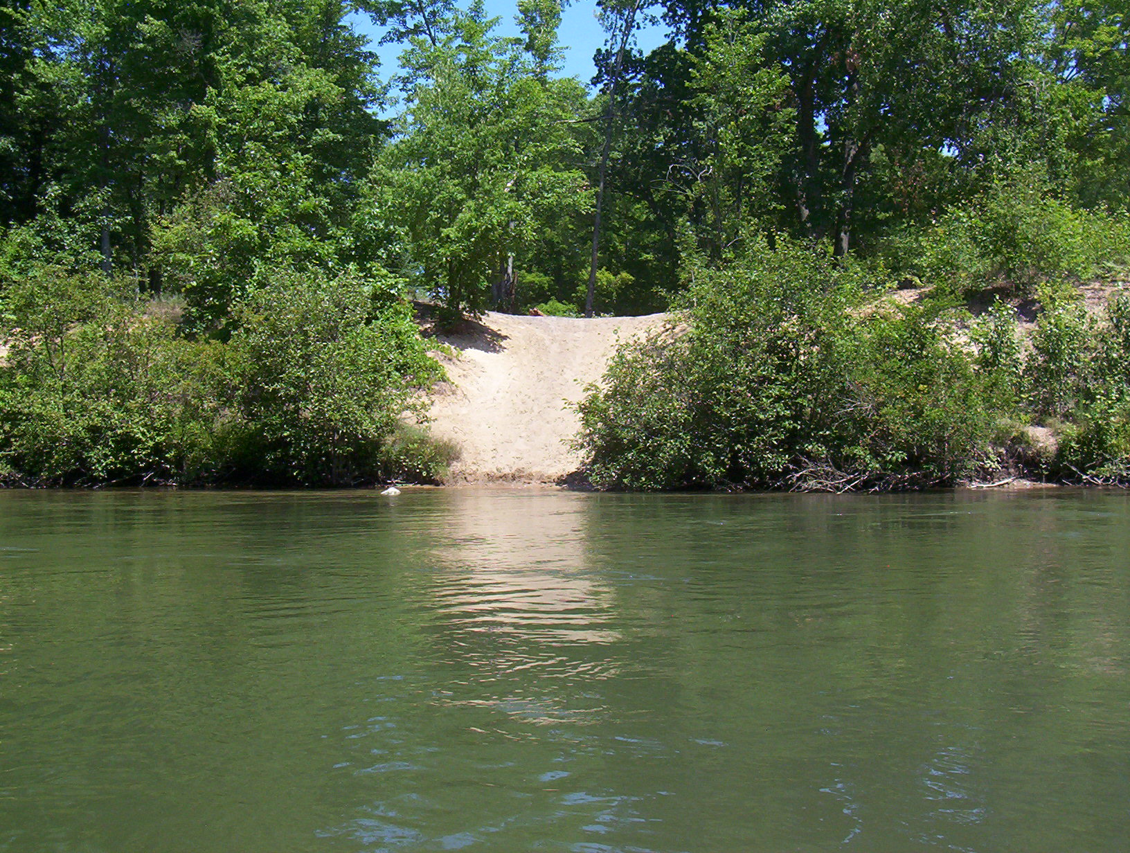
Stream Bank Erosion Site BGMN-012
Total Severity: Minor
Total Points: 26
Information collected by:
Big Manistee River Watershed,
Greenwood Twp,
Wexford County
GPS Coordinates: 44.49694
, -85.46161
T24N
R10W
Sec 12
Owned by State
Bank Details
Which Bank? Right
Bank Aspect:S
Condition:Both toe and upper bank eroding
Erosion Trend:Increasing
Percent Veg. Cover: 50-100%
Bank Conditions
Stream Width:70 ft.
Stream Depth:2 ft.
Stream Current:Fast
Eroded Bank Length:30 ft.
Eroded Bank Height:8 ft.
Slope of Eroded Bank:2:1
Texture: Sand
Cause(s) of Erosion
-Foot traffic
Other causes: North Country trail usage
Recommended Treatment(s)
-Bank revegetation
-Rock riprap
-Constructed access
General Information
Total Points
26
�