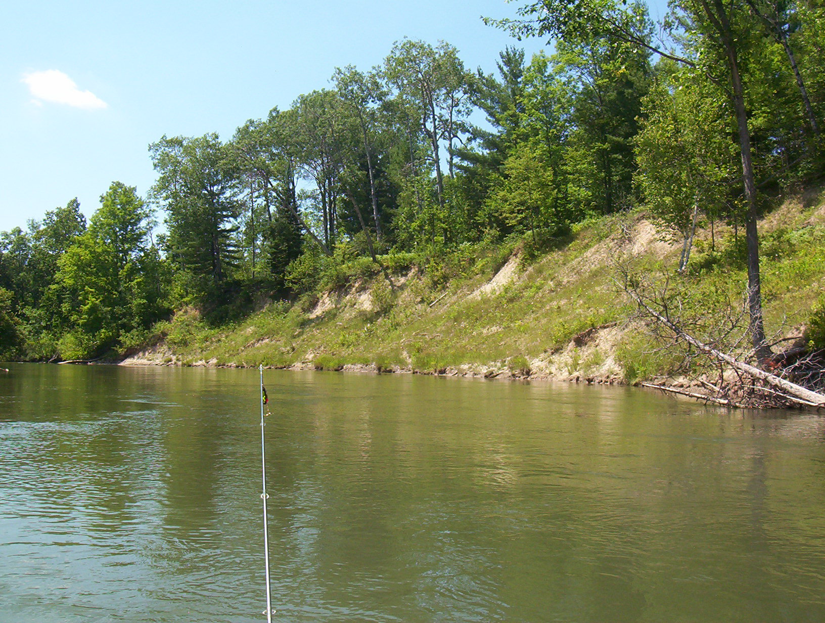
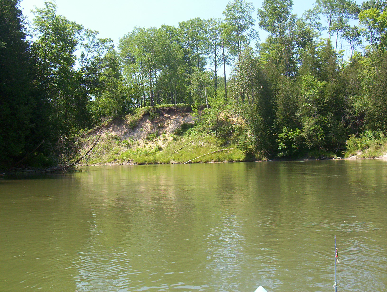
Stream Bank Erosion Site BGMN-015
Total Severity: Moderate
Total Points: 33
Information collected by:
Big Manistee River Watershed,
Greenwood Twp,
Wexford County
GPS Coordinates: 44.49745
, -85.47993
T24N
R10W
Sec 12
Owned by State
Bank Details
Which Bank? Right
Bank Aspect:SE
Condition:Both toe and upper bank eroding
Erosion Trend:Increasing
Percent Veg. Cover: 50-100%
Bank Conditions
Stream Width:50 ft.
Stream Depth:7 ft.
Stream Current:Slow
Eroded Bank Length:320 ft.
Eroded Bank Height:50 ft.
Slope of Eroded Bank:2:1
Texture: Stratified
Cause(s) of Erosion
-Bend in river
-Bank seepage
Recommended Treatment(s)
-Tree revetments
General Information
Total Points
33
�