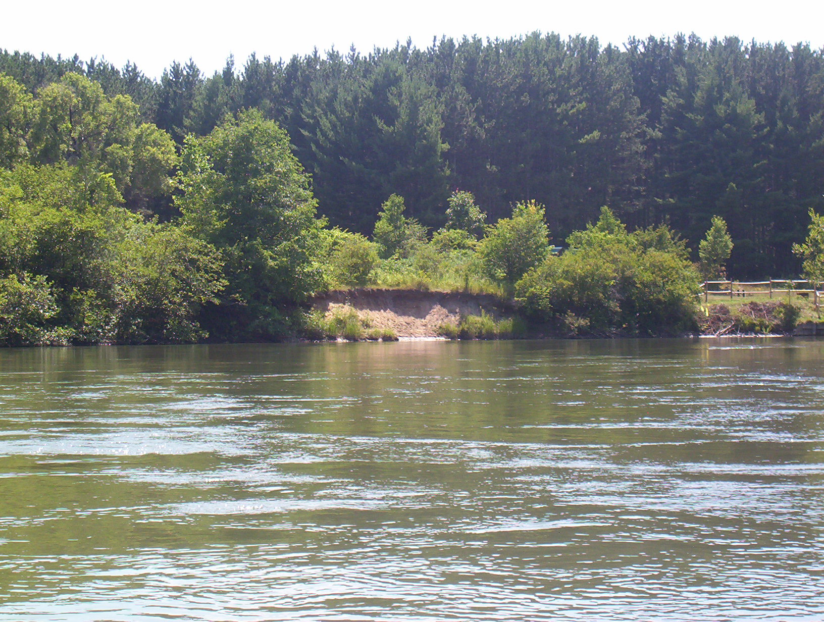
Stream Bank Erosion Site BGMN-019
Total Severity: Minor
Total Points: 28
Information collected by:
Big Manistee River Watershed,
Greenwood Twp,
Wexford County
GPS Coordinates: 44.4943
, -85.52245
T24N
R10W
Sec 9
Owned by State
Bank Details
Which Bank? Left
Bank Aspect:NE
Condition:Both toe and upper bank eroding
Erosion Trend:Increasing
Percent Veg. Cover: 10-50%
Bank Conditions
Stream Width:80 ft.
Stream Depth:5 ft.
Stream Current:Slow
Eroded Bank Length:40 ft.
Eroded Bank Height:6 ft.
Slope of Eroded Bank:3:1
Texture: Sand
Cause(s) of Erosion
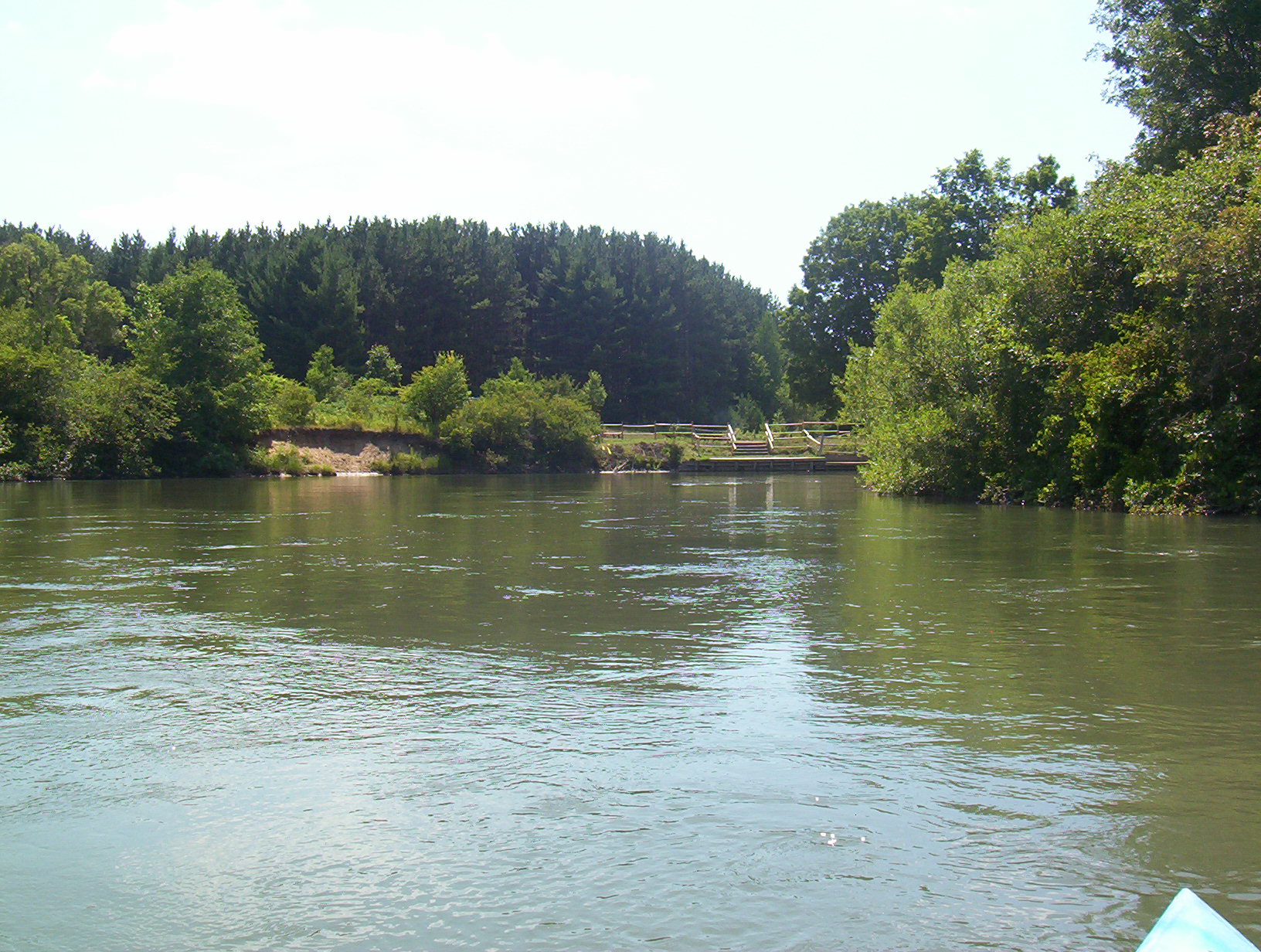
-Foot traffic
Other causes: Campground foot traffic
Recommended Treatment(s)
-Bank revegetation
-Cover structure
-Constructed access
General Information
Baxter Bridge Campground
Total Points
28
�