Stream Bank Erosion Site BR01
Total Severity: Moderate
Total Points: 34
Information collected by:
Upper Black River Watershed,
Upper Black River
Forest Twp,
Cheboygan County
GPS Coordinates: 45.231785
, -84.325389
T33N
R1E
Sec 21
Owned by State
Site Access:No
2022
2022
2022
2022
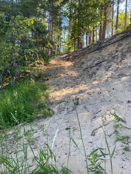
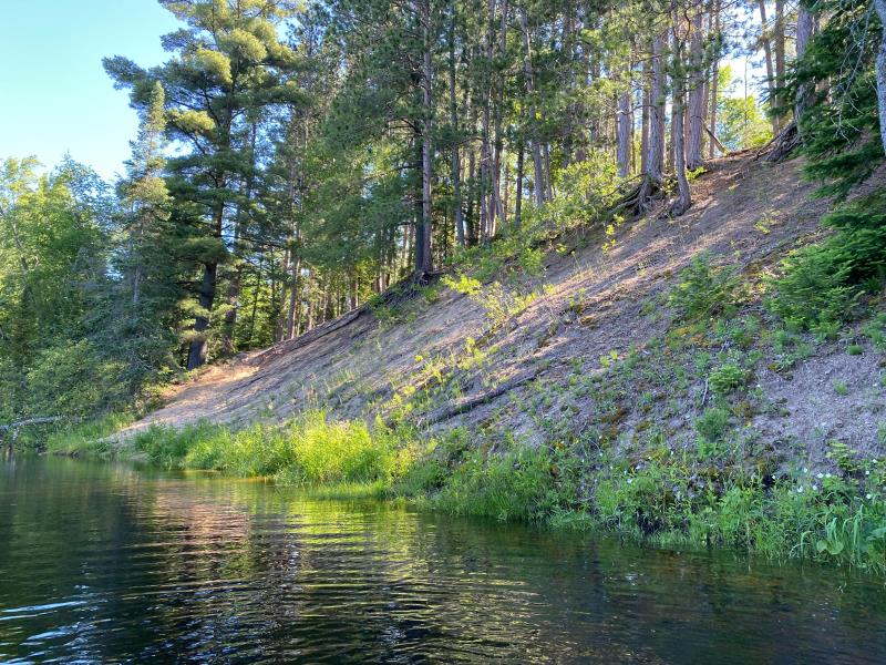
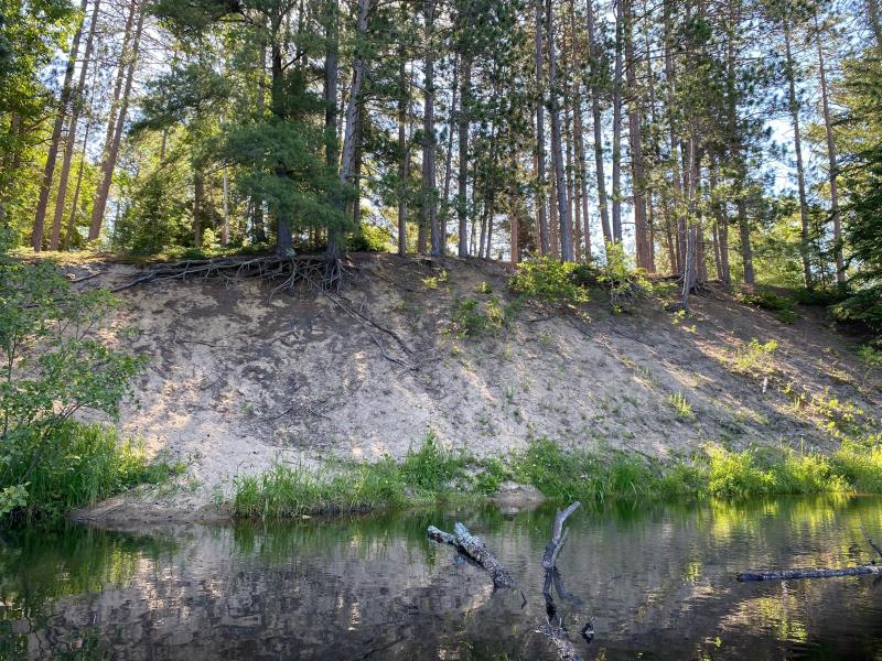
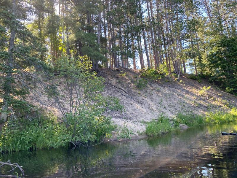
Bank Details
Which Bank? Right
Bank Aspect:West
Condition:Toe and upper bank eroding
Erosion Trend:Stable
Percent Veg. Cover: 11_50%
Bank Conditions
Stream Width:75 ft.
Stream Depth:1 ft.
Stream Current:Slow
Eroded Bank Length:60 ft.
Eroded Bank Height:30 ft.
Slope of Eroded Bank:Vertical_to_1H:1V
Texture: Sand
Cause(s) of Erosion
-Foot traffic
Recommended Treatment(s)
General Information
Project Details
Year Inventory Completed: 2022
Total Points
34
�