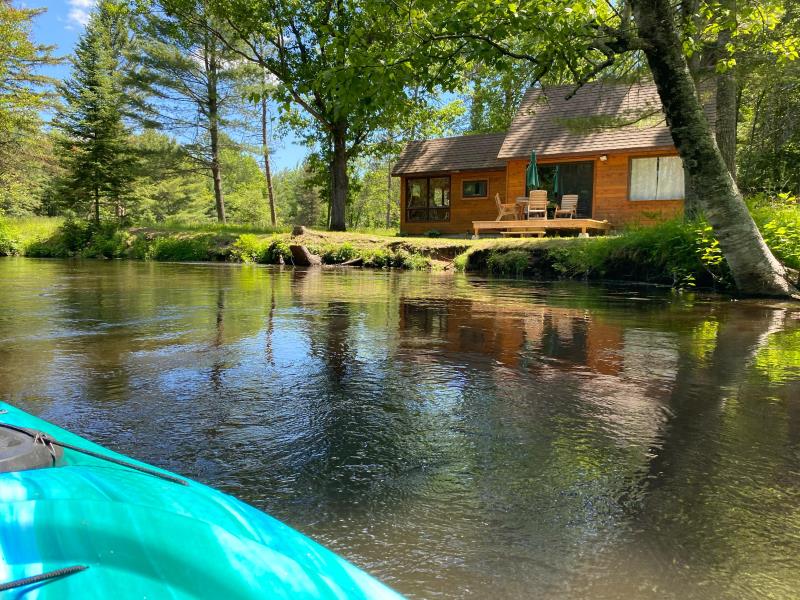
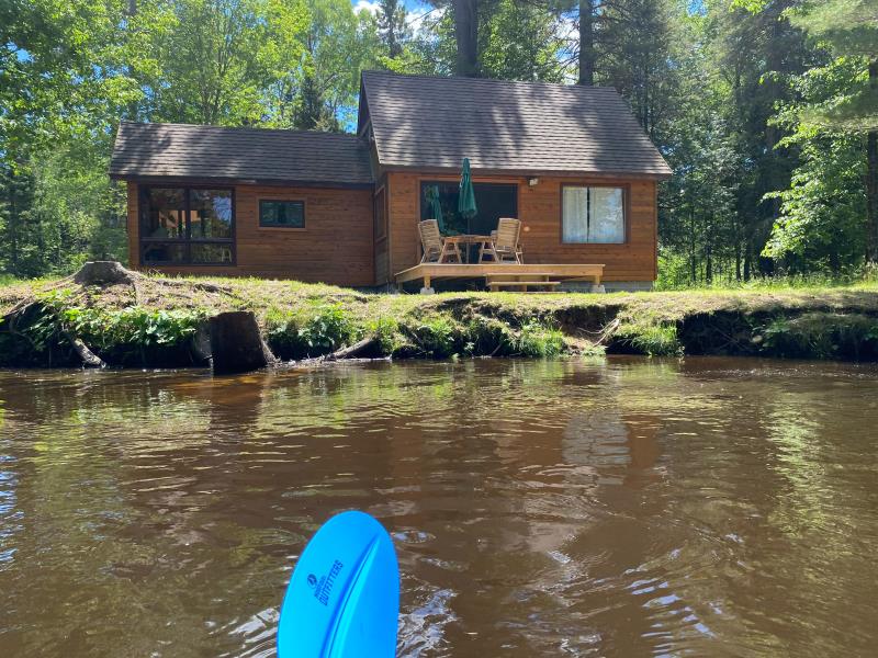
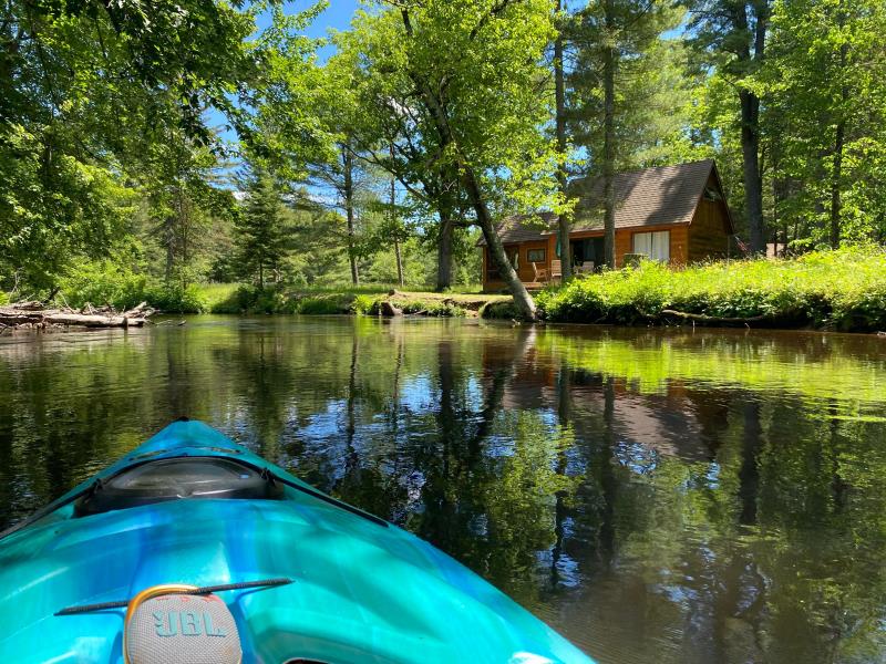
Stream Bank Erosion Site BR06
Total Severity: Minor
Total Points: 27
Information collected by:
Upper Black River Watershed,
Upper Black River
Forest Twp,
Cheboygan County
GPS Coordinates: 45.269318
, -84.257491
T33N
R1E
Sec 12
Owned by Private
Site Access:Yes
2022
2022
2022
Bank Details
Which Bank? Right
Bank Aspect:Northwest
Condition:Toe and upper bank eroding
Erosion Trend:Stable
Percent Veg. Cover: 0_10%
Bank Conditions
Stream Width:45 ft.
Stream Depth:2.5 ft.
Stream Current:Fast
Eroded Bank Length:10 ft.
Eroded Bank Height:3 ft.
Slope of Eroded Bank:Vertical_to_1H:1V
Texture: Sand
Cause(s) of Erosion
-Foot traffic
Recommended Treatment(s)
General Information
Project Details
Year Inventory Completed: 2022
Total Points
27
�