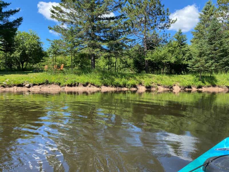
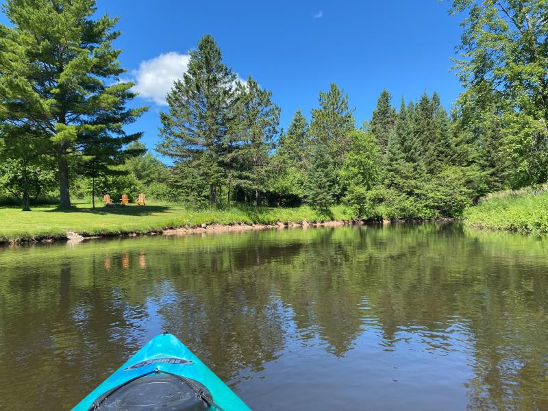
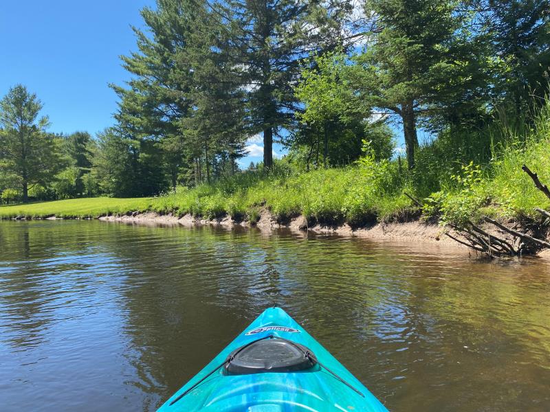
Stream Bank Erosion Site BR09
Total Severity: Minor
Total Points: 20
Information collected by:
Upper Black River Watershed,
Upper Black River
Forest Twp,
Cheboygan County
GPS Coordinates: 45.2962748210001
, -84.262275619
T34N
R1E
Sec 36
Owned by Private
Site Access:No
2022
2022
2022
Bank Details
Which Bank? Left
Bank Aspect:North
Condition:Toe is undercutting
Erosion Trend:Stable
Percent Veg. Cover: 11_50%
Bank Conditions
Stream Width:100 ft.
Stream Depth:2.5 ft.
Stream Current:Slow
Eroded Bank Length:60 ft.
Eroded Bank Height:2 ft.
Slope of Eroded Bank:2H:1V
Texture: Clay
Cause(s) of Erosion
-Gullying
-Foot traffic
Recommended Treatment(s)
General Information
Project Details
Year Inventory Completed: 2022
Total Points
20
�