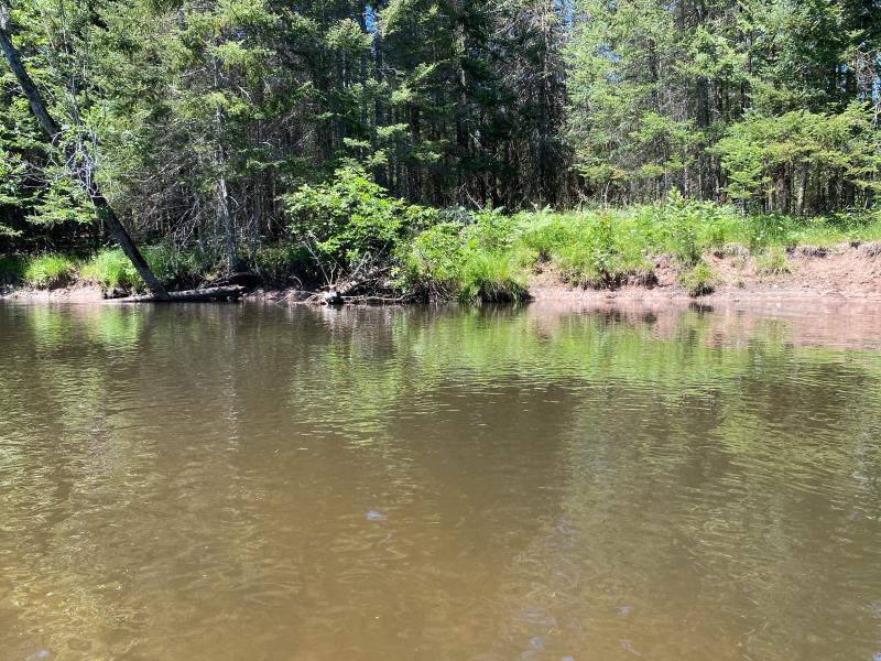
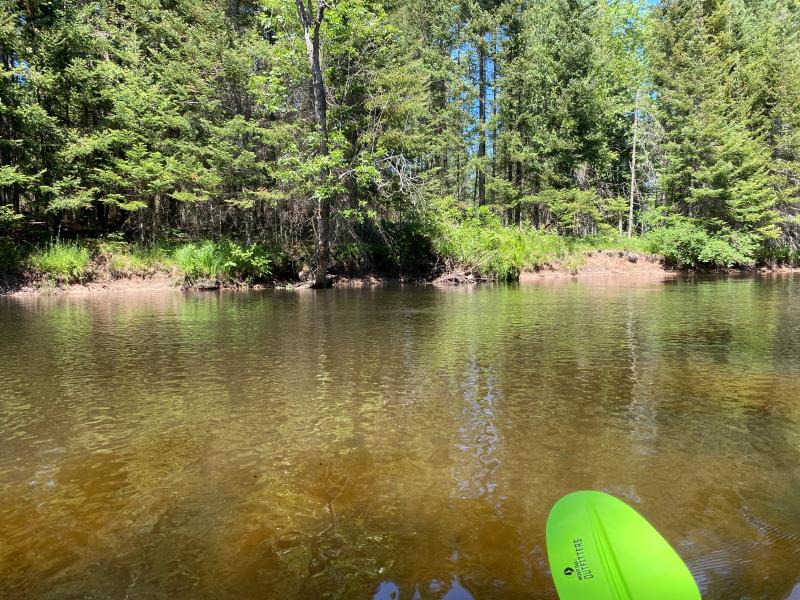
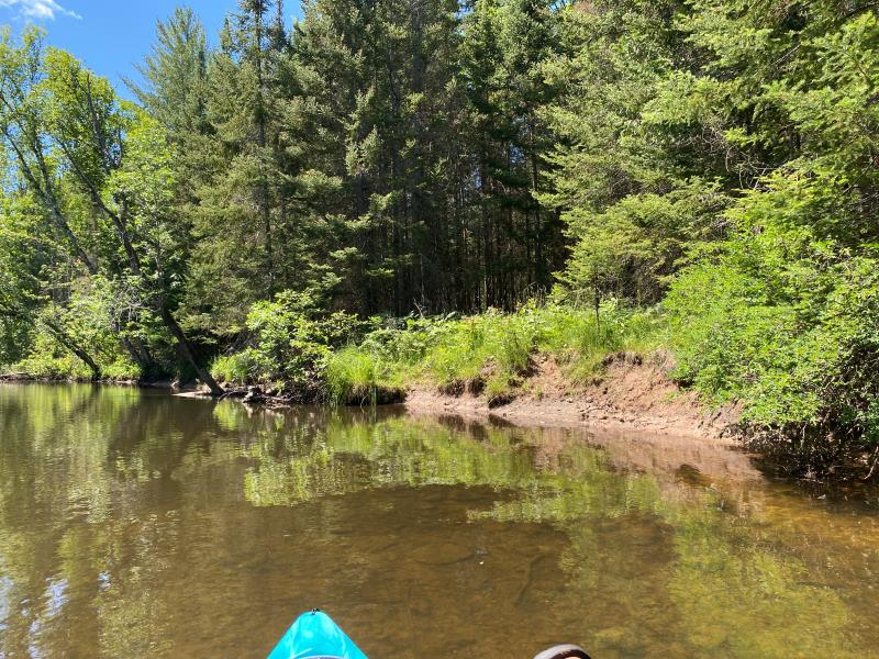
Stream Bank Erosion Site BR11
Total Severity: Minor
Total Points: 22
Information collected by:
Upper Black River Watershed,
Upper Black River
Forest Twp,
Cheboygan County
GPS Coordinates: 45.314625634
, -84.2586154529999
T34N
R1E
Sec 24
Owned by Private
Site Access:Yes
2022
2022
2022
Bank Details
Which Bank? Left
Bank Aspect:East
Condition:Toe is undercutting
Erosion Trend:Stable
Percent Veg. Cover: 11_50%
Bank Conditions
Stream Width:95 ft.
Stream Depth:1.7 ft.
Stream Current:Slow
Eroded Bank Length:50 ft.
Eroded Bank Height:2 ft.
Slope of Eroded Bank:2H:1V
Texture: Sand Over Clay
Cause(s) of Erosion
-Bend in river
-Foot traffic
Recommended Treatment(s)
General Information
Project Details
Year Inventory Completed: 2022
Total Points
22
�