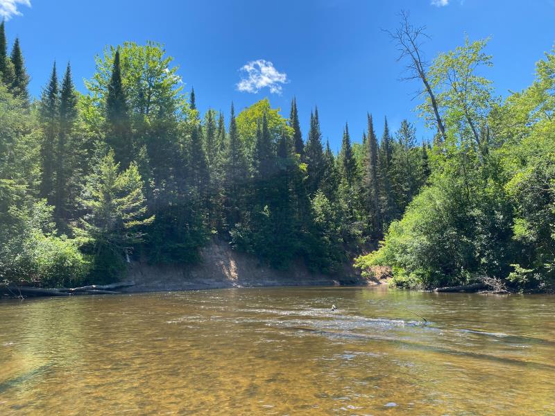
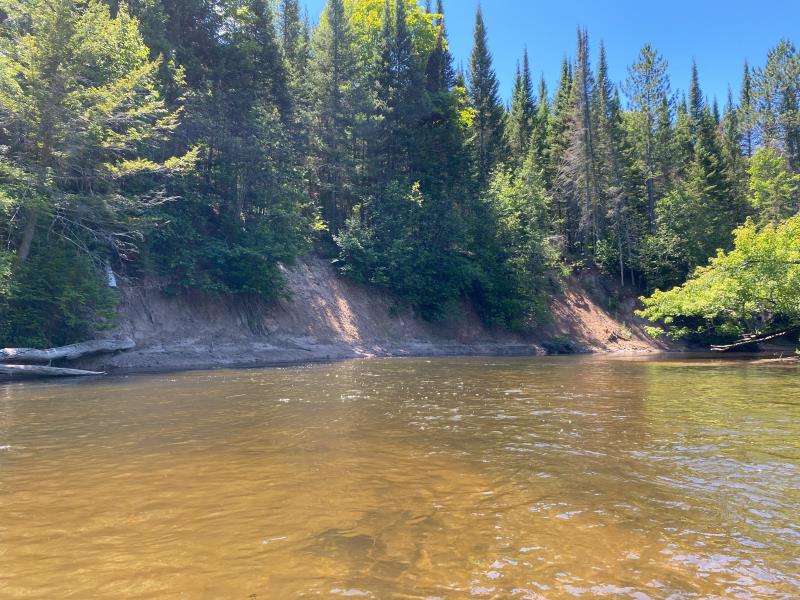
Stream Bank Erosion Site BR13
Total Severity: Severe
Total Points: 36
Information collected by:
Upper Black River Watershed,
Upper Black River
Forest Twp,
Cheboygan County
GPS Coordinates: 45.3311283638627
, -84.2609874456842
T34N
R1E
Sec 13
Owned by Private
Site Access:No
2022
2022
2022
2022
Bank Details
Which Bank? Left
Bank Aspect:West
Condition:Toe and upper bank eroding
Erosion Trend:Stable
Percent Veg. Cover: 0_10%
Bank Conditions
Stream Width:60 ft.
Stream Depth:5 ft.
Stream Current:Fast
Eroded Bank Length:150 ft.
Eroded Bank Height:20 ft.
Slope of Eroded Bank:Vertical_to_1H:1V
Texture: Sand Over Clay
Cause(s) of Erosion
-Bend in river
Recommended Treatment(s)
General Information
Project Details
Year Inventory Completed: 2022
Total Points
36
�