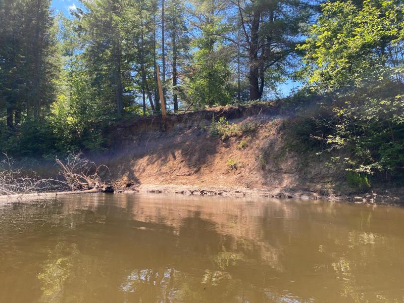
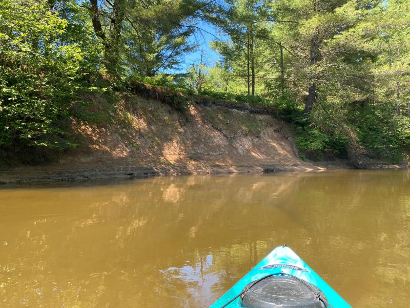
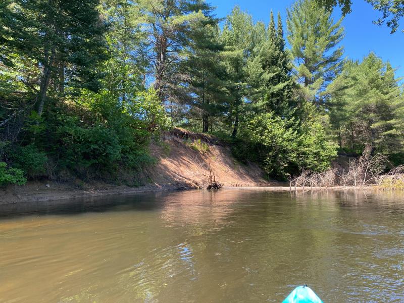
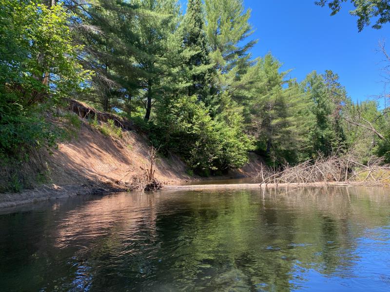
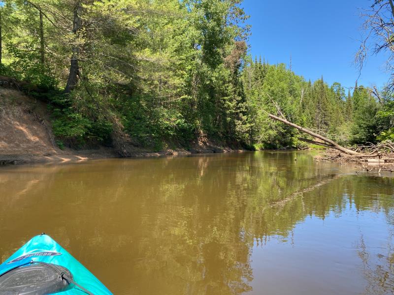
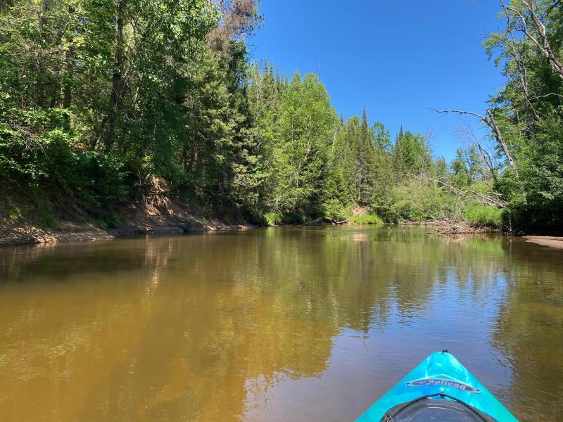
Stream Bank Erosion Site BR14
Total Severity: Moderate
Total Points: 35
Information collected by:
Upper Black River Watershed,
Upper Black River
Forest Twp,
Cheboygan County
GPS Coordinates: 45.3315152636036
, -84.262888663331
T34N
R1E
Sec 13
Owned by Private
Site Access:No
2022
2022
2022
2022
2022
2022
Bank Details
Which Bank? Left
Bank Aspect:North
Condition:Toe and upper bank eroding
Erosion Trend:Stable
Percent Veg. Cover: 0_10%
Bank Conditions
Stream Width:65 ft.
Stream Depth:5 ft.
Stream Current:Slow
Eroded Bank Length:100 ft.
Eroded Bank Height:20 ft.
Slope of Eroded Bank:Vertical_to_1H:1V
Texture: Clay
Sand Over Clay
Sand Over Clay
Cause(s) of Erosion
-Bend in river
Recommended Treatment(s)
General Information
Project Details
Year Inventory Completed: 2022
Total Points
35
�