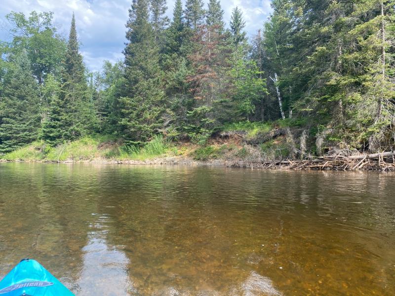
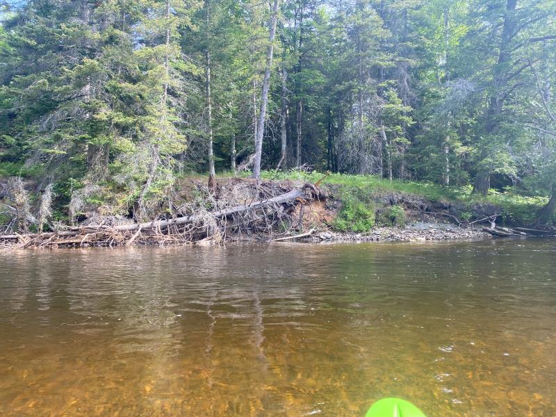
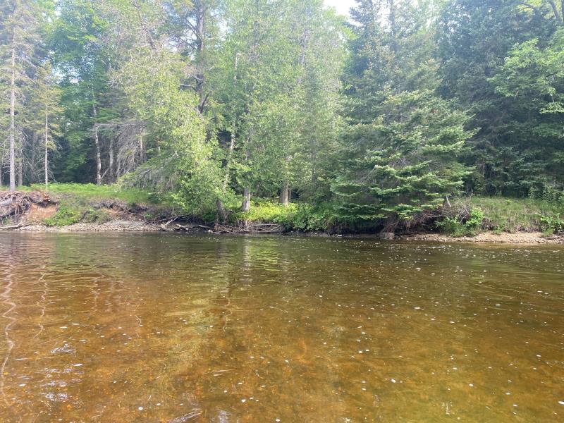
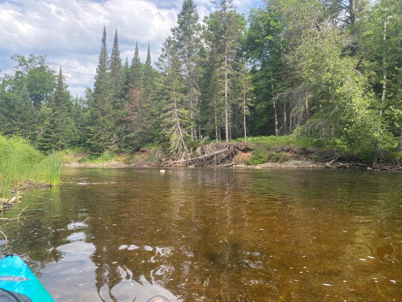
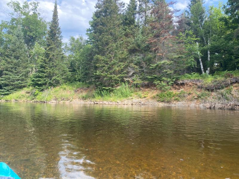
Stream Bank Erosion Site BR21
Total Severity: Minor
Total Points: 29
Information collected by:
Upper Black River Watershed,
Upper Black River
Waverly Twp,
Cheboygan County
GPS Coordinates: 45.4119521170001
, -84.336854886
T35N
R1E
Sec 20
Owned by State
Site Access:No
2022
2022
2022
2022
2022
Bank Details
Which Bank? Right
Bank Aspect:Southwest
Condition:Toe is undercutting
Erosion Trend:Stable
Percent Veg. Cover: 11_50%
Bank Conditions
Stream Width:55 ft.
Stream Depth:4 ft.
Stream Current:Slow
Eroded Bank Length:120 ft.
Eroded Bank Height:5 ft.
Slope of Eroded Bank:Vertical_to_1H:1V
Texture: Clay
Stratified
Stratified
Cause(s) of Erosion
-Bend in river
Recommended Treatment(s)
General Information
Project Details
Year Inventory Completed: 2022
Total Points
29
�