Stream Bank Erosion Site BR22
Total Severity: Severe
Total Points: 38
Information collected by:
Upper Black River Watershed,
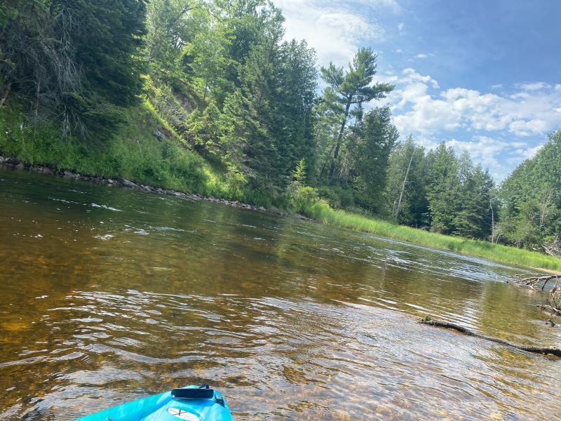
Upper Black River
Waverly Twp,
Cheboygan County
GPS Coordinates: 45.4142695867975
, -84.3366422435983
T35N
R1E
Sec 17
Owned by State
Site Access:No
2022
2022
2022
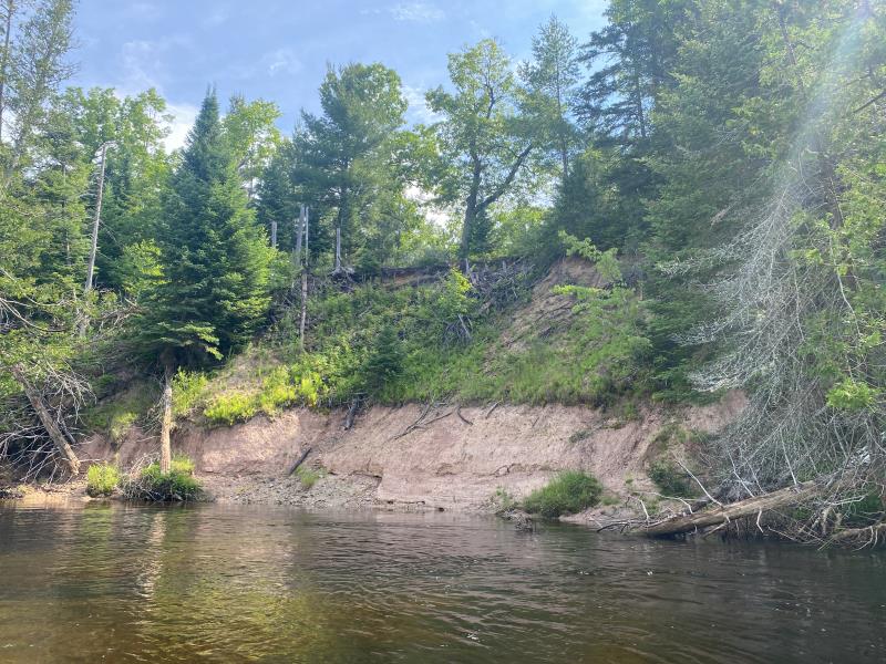
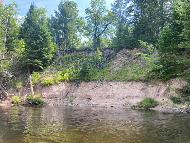
Bank Details
Which Bank? Right
Bank Aspect:West
Condition:Toe and upper bank eroding
Erosion Trend:Increasing
Percent Veg. Cover: 11_50%
Bank Conditions
Stream Width:70 ft.
Stream Depth:3 ft.
Stream Current:Fast
Eroded Bank Length:200 ft.
Eroded Bank Height:50 ft.
Slope of Eroded Bank:Vertical_to_1H:1V
Texture: other
Stratified
Stratified
Cause(s) of Erosion
-Bend in river
Recommended Treatment(s)
General Information
Project Details
Year Inventory Completed: 2022
Total Points
38
�