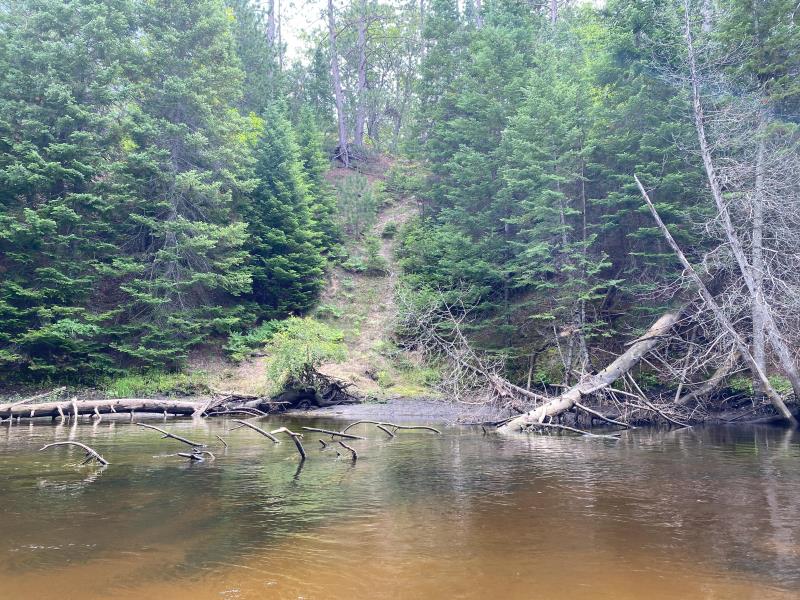
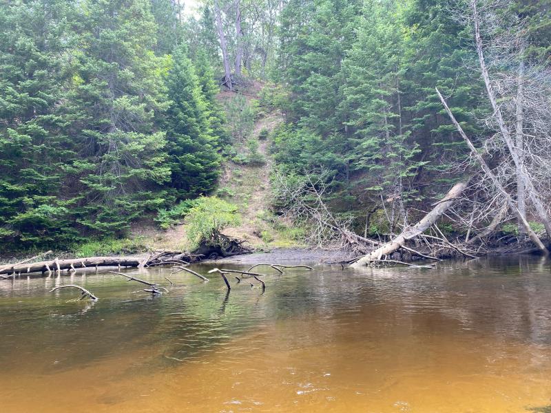
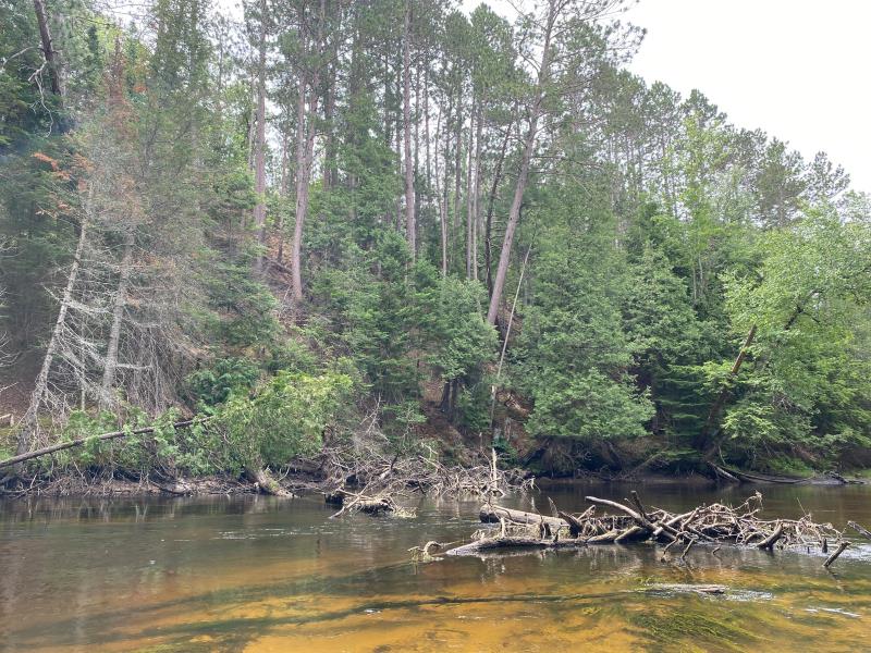
Stream Bank Erosion Site BR24
Total Severity: Minor
Total Points: 25
Information collected by:
Upper Black River Watershed,
Upper Black River
Waverly Twp,
Cheboygan County
GPS Coordinates: 45.4359806040001
, -84.331877332
T35N
R1E
Sec 8
Owned by State
Site Access:No
2022
2022
2022
Bank Details
Which Bank? Right
Bank Aspect:West
Condition:Toe is stable; upper bank eroding
Erosion Trend:Stable
Percent Veg. Cover: 11_50%
Bank Conditions
Stream Width:85 ft.
Stream Depth:3 ft.
Stream Current:Slow
Eroded Bank Length:20 ft.
Eroded Bank Height:100 ft.
Slope of Eroded Bank:Vertical_to_1H:1V
Texture: Stratified
Cause(s) of Erosion
-Bend in river
-Bank seepage
-Gullying
Recommended Treatment(s)
General Information
Project Details
Year Inventory Completed: 2022
Total Points
25
�