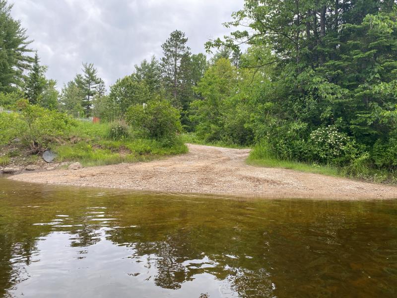
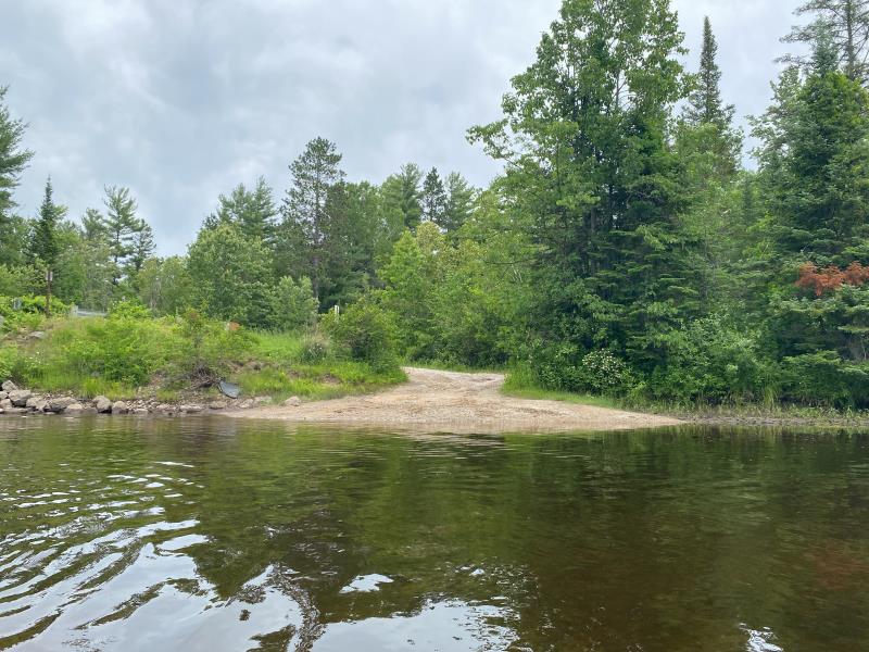
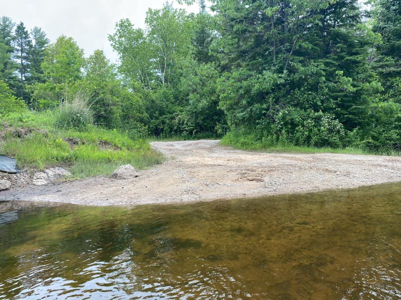
Stream Bank Erosion Site BR29
Total Severity: Minor
Total Points: 19
Information collected by:
Upper Black River Watershed,
Upper Black River
Waverly Twp,
Cheboygan County
GPS Coordinates: 45.45051946184
, -84.3371681499688
T35N
R1E
Sec 5
Owned by State
Site Access:Yes
2022
2022
2022
Bank Details
Which Bank? Right
Bank Aspect:West
Condition:Toe is stable; upper bank eroding
Erosion Trend:Stable
Percent Veg. Cover: 0_10%
Bank Conditions
Stream Width:65 ft.
Stream Depth:1.5 ft.
Stream Current:Slow
Eroded Bank Length:25 ft.
Eroded Bank Height:3 ft.
Slope of Eroded Bank:4H:1V_or_flatter
Texture: Gravel
Cause(s) of Erosion
-Foot traffic
Recommended Treatment(s)
General Information
Project Details
Year Inventory Completed: 2022
Total Points
19
�