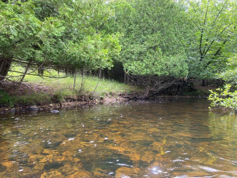
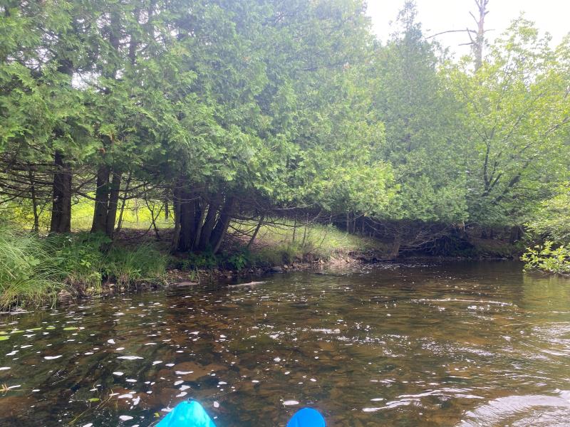
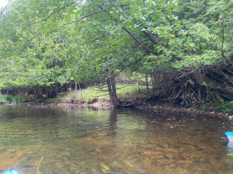
Stream Bank Erosion Site OCR03
Total Severity: Minor
Total Points: 24
Information collected by:
Ocqueoc River Watershed,
Ocqueoc River
Case Twp,
Presque Isle County
GPS Coordinates: 45.3441538174209
, -84.0764322107848
T34N
R3E
Sec 9
Owned by Private
Site Access:No
2022
2022
2022
Bank Details
Which Bank? Left
Bank Aspect:South
Condition:Toe and upper bank eroding
Erosion Trend:Stable
Percent Veg. Cover: 11_50%
Bank Conditions
Stream Width:40 ft.
Stream Depth:1 ft.
Stream Current:Slow
Eroded Bank Length:30 ft.
Eroded Bank Height:3 ft.
Slope of Eroded Bank:Vertical_to_1H:1V
Texture: Stratified
Cause(s) of Erosion
-Bend in river
Recommended Treatment(s)
General Information
Project Details
Year Inventory Completed: 2022
Total Points
24
�