Stream Bank Erosion Site OCR05
Total Severity: Minor
Total Points: 24
Information collected by:
Ocqueoc River Watershed,
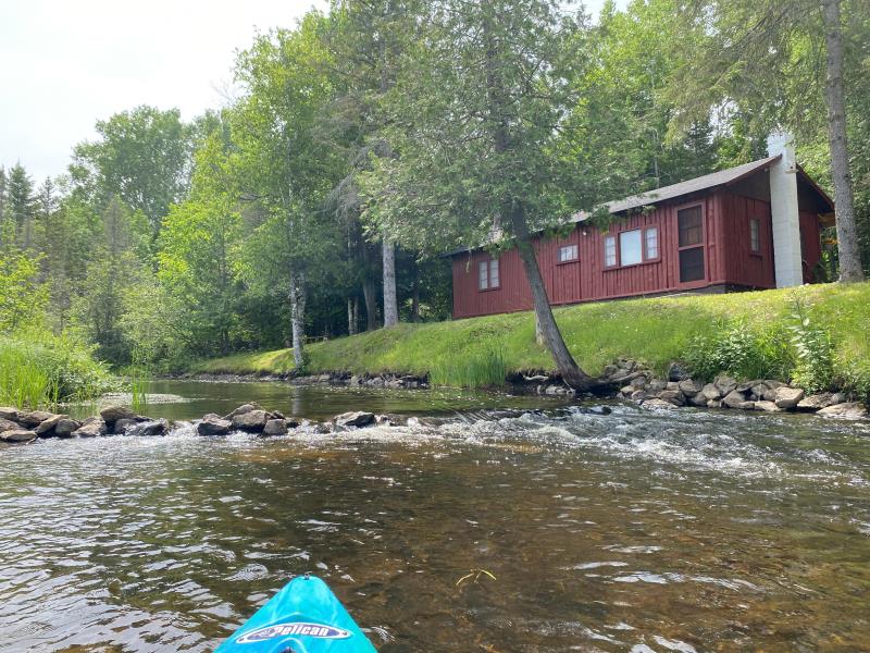
Ocqueoc River
Cass Twp,
Presque Isle County
GPS Coordinates: 45.3574496614428
, -84.0794654278301
T34N
R3E
Sec 4
Owned by Private
Site Access:No

2022

2022

2022
2022
Bank Details
Which Bank? Left
Bank Aspect:North
Condition:Toe is undercutting
Erosion Trend:Stable
Percent Veg. Cover: 0_10%
Bank Conditions
Stream Width:30 ft.
Stream Depth:2.5 ft.
Stream Current:Fast
Eroded Bank Length:50 ft.
Eroded Bank Height:3.5 ft.
Slope of Eroded Bank:Vertical_to_1H:1V
Texture: other
Cause(s) of Erosion
-Bend in river
Recommended Treatment(s)
General Information
Project Details
Year Inventory Completed: 2022
Total Points
24
�