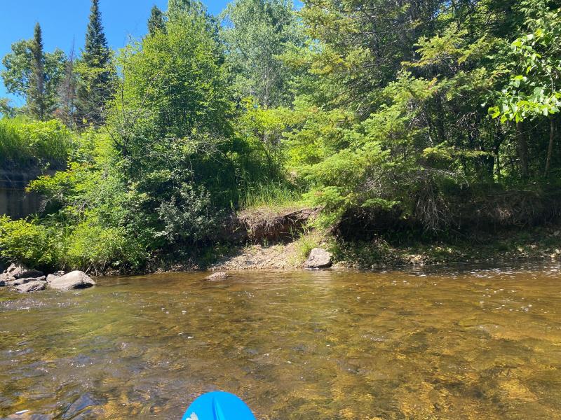
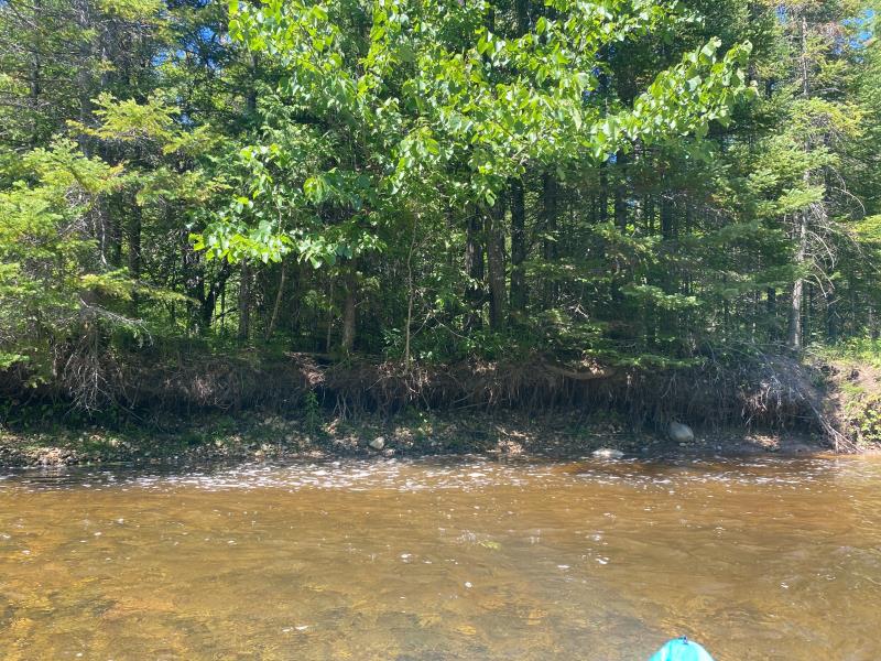
Stream Bank Erosion Site OCR11
Total Severity: Minor
Total Points: 24
Information collected by:
Ocqueoc River Watershed,
Ocqueoc River
Ocqueoc Twp,
Presque Isle County
GPS Coordinates: 45.389253679
, -84.058936827
T35N
R3E
Sec 27
Owned by State
Site Access:Yes
2022
2022

2022
Bank Details
Which Bank? Left
Bank Aspect:South
Condition:Toe is undercutting
Erosion Trend:Stable
Percent Veg. Cover: 0_10%
Bank Conditions
Stream Width:25 ft.
Stream Depth:2 ft.
Stream Current:Fast
Eroded Bank Length:40 ft.
Eroded Bank Height:3 ft.
Slope of Eroded Bank:Vertical_to_1H:1V
Texture: Gravel
Cause(s) of Erosion
Other causes: Bridge upstream
Recommended Treatment(s)
General Information
Project Details
Year Inventory Completed: 2022
Total Points
24
�