Stream Bank Erosion Site OCR25
Total Severity: Minor
Total Points: 27
Information collected by:
Ocqueoc River Watershed,
Ocqueoc River
Ocqueoc Twp,
Presque Isle County
GPS Coordinates: 45.48811
, -84.081
T36N
R3E
Sec 21
Owned by Private
2022
2022
2022
2022
2022
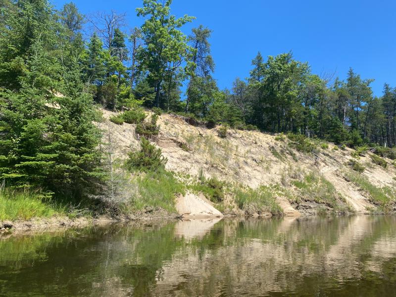
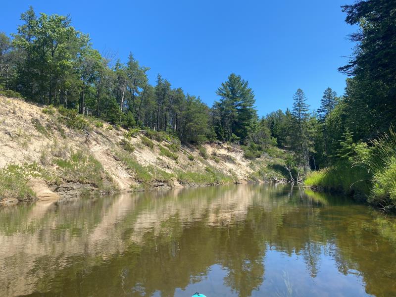
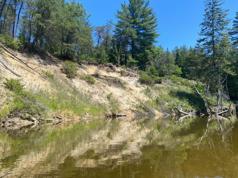
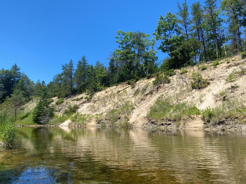
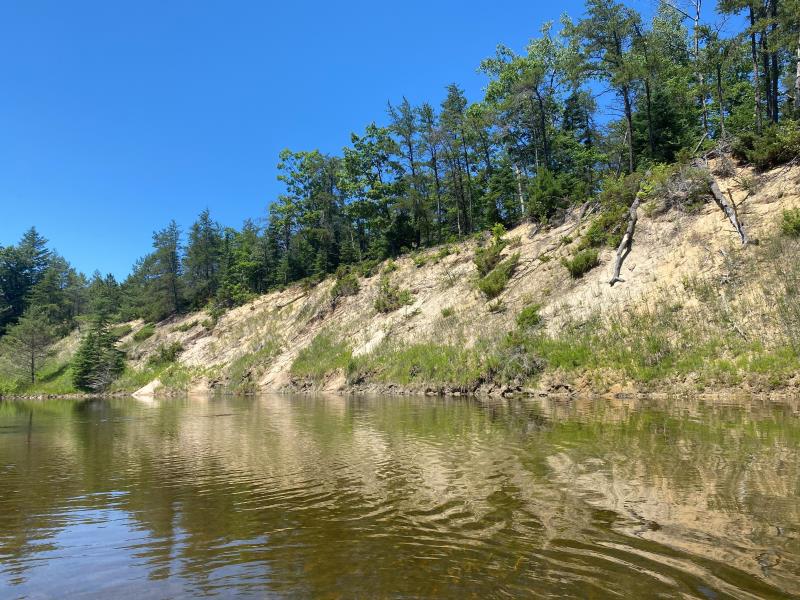
Bank Details
Which Bank? Left
Bank Aspect:South
Condition:Toe is stable; upper bank eroding
Erosion Trend:Stable
Percent Veg. Cover: 11_50%
Bank Conditions
Stream Width:50 ft.
Stream Depth:3 ft.
Stream Current:Slow
Eroded Bank Length:500 ft.
Eroded Bank Height:35 ft.
Slope of Eroded Bank:2H:1V
Texture: Sand
Cause(s) of Erosion
-Bend in river
Recommended Treatment(s)
General Information
Project Details
Year Inventory Completed: 2022
Total Points
27
�