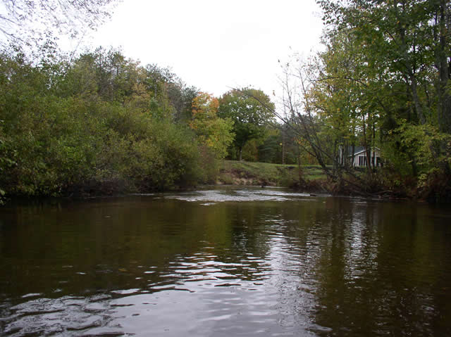
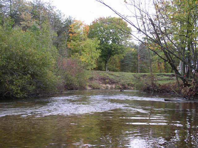
Stream Bank Erosion Site BC-05
Total Severity: Minor
Total Points: 23
Information collected by:
Bear Creek Watershed,
Bear Creek
Maple Grove Twp,
Manistee County
GPS Coordinates: 44.35962
, -86.04983
T23N
R14W
Sec 30
Bank Details
Which Bank? Left
Bank Aspect:NW
Condition:Both toe and upper bank eroding
Erosion Trend:Increasing
Percent Veg. Cover: 50-100%
Bank Conditions
Stream Width:40 ft.
Stream Depth:2 ft.
Stream Current:Slow
Eroded Bank Length:20 ft.
Eroded Bank Height:8 ft.
Slope of Eroded Bank:2:1
Texture: Gravel
Cause(s) of Erosion
-Bend in river
Other causes: Landowner mowing to edge
Recommended Treatment(s)
-Bank revegetation
-Cover structure
-Tree revetments
General Information
beige house on bank
Total Points
23
�