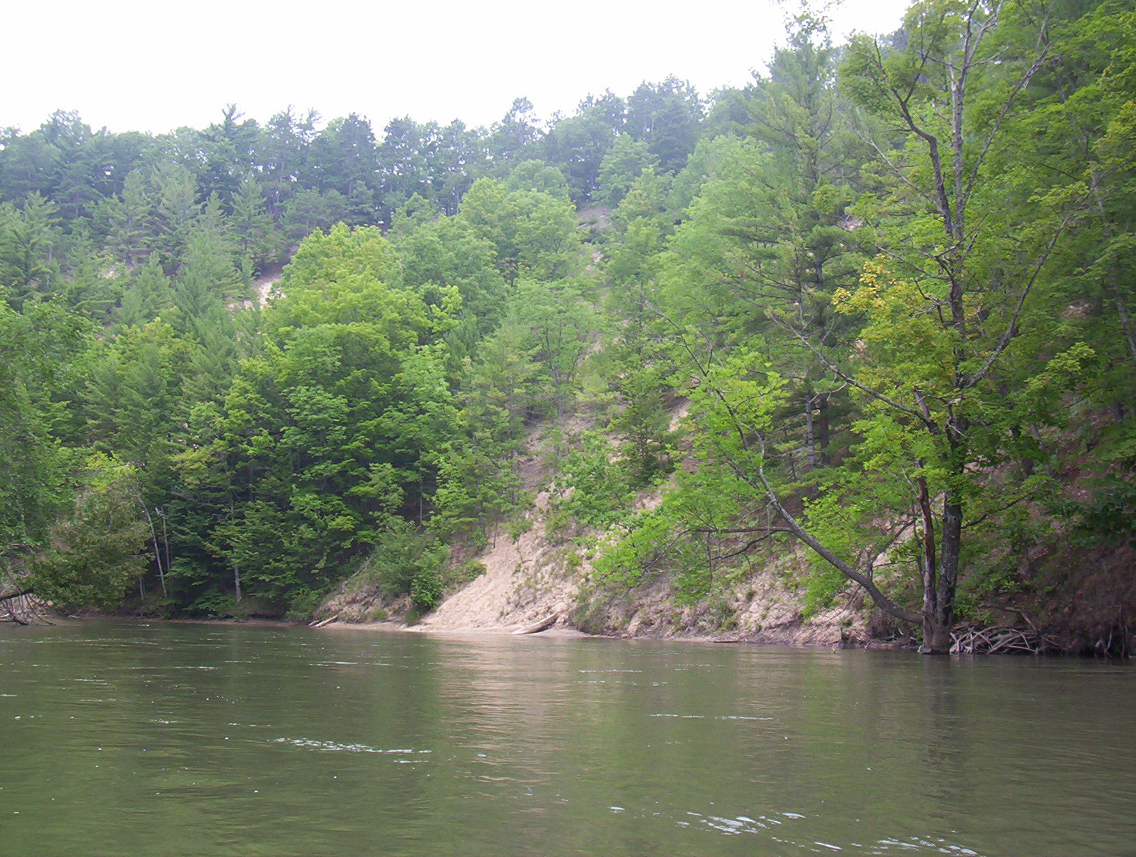
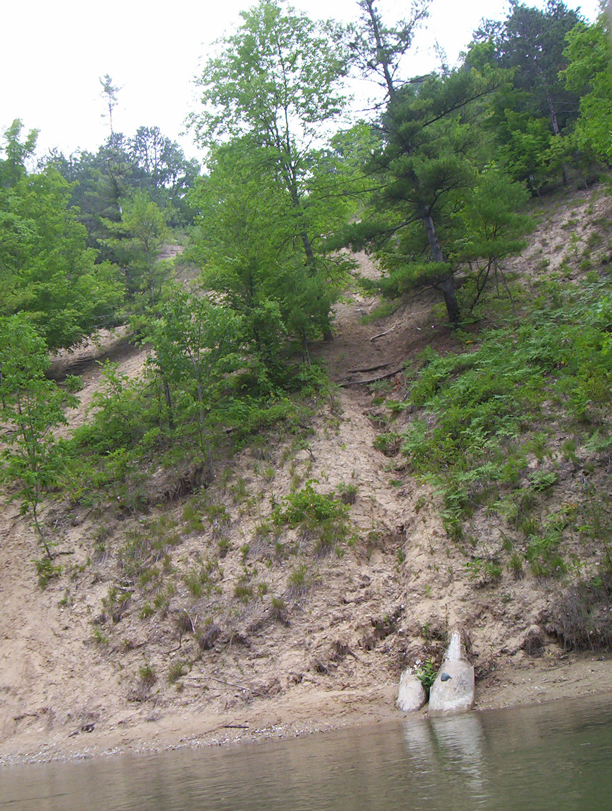
Stream Bank Erosion Site BGMN-035
Total Severity: Moderate
Total Points: 31
Information collected by:
Big Manistee River Watershed,
Greenwood Twp,
Wexford County
GPS Coordinates: 44.4834
, -85.55848
T24N
R10W
Sec 7
Owned by State
Bank Details
Which Bank? Right
Bank Aspect:SE
Condition:Both toe and upper bank eroding
Erosion Trend:Stable
Percent Veg. Cover: 50-100%
Bank Conditions
Stream Width:80 ft.
Stream Depth:4 ft.
Stream Current:Fast
Eroded Bank Length:600 ft.
Eroded Bank Height:150 ft.
Slope of Eroded Bank:3:1
Texture: Sand
Cause(s) of Erosion
-Bend in river
-Bank seepage
-Gullying
Recommended Treatment(s)
-Bank revegetation
General Information
Across from Baxter Bridge Campground
Total Points
31
�