Stream Bank Erosion Site BRD-S736
Total Severity: Moderate
Total Points: 31
Information collected by:
Boardman River Watershed,
South Branch Boardman River
Boardman Twp,
Kalkaska County
GPS Coordinates: 44.66104078
, -85.31600289
T26N
R8W
Sec 7
Owned by State
Site Access:two-track from nearby snowmobile trail
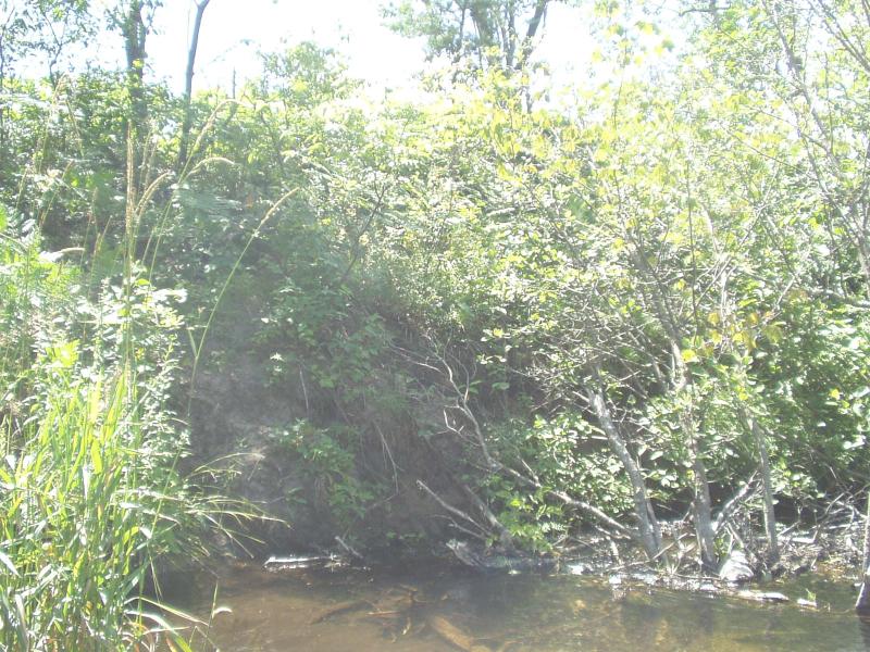
Bank Details
Which Bank? Left
Condition:Both toe and upper bank eroding
Erosion Trend:Increasing
Percent Veg. Cover: 0-10%
Bank Conditions
Stream Width:28 ft.
Stream Depth:12 in.
Stream Current:Moderate
Eroded Bank Length:15 ft.
Eroded Bank Height:8 ft.
Slope of Eroded Bank:Vertical
Texture: Sand
Cause(s) of Erosion
-Obstructions in river
Recommended Treatment(s)
-Obstruction removal
-Tree revetments
General Information
Site should hal itself if the aggravation is removed.
Total Points
31
�