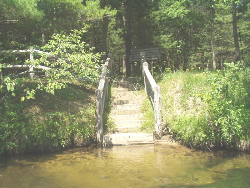
Stream Bank Erosion Site BRD-S495
Total Severity: Minor
Total Points: 24
Information collected by:
Boardman River Watershed,
Boardman River
Union Twp,
Grand Traverse County
GPS Coordinates: 44.67611127
, -85.40616804
T26N
R9W
Sec 4
Owned by State
Site Access:yes
Bank Details
Which Bank? Right
Condition:Toe eroding; upper bank is stable
Erosion Trend:Increasing
Percent Veg. Cover: 50-100%
Bank Conditions
Stream Width:32 ft.
Stream Depth:30 in.
Stream Current:Moderate
Eroded Bank Length:20 ft.
Eroded Bank Height:2 ft.
Slope of Eroded Bank:Vertical
Texture: Sand
Cause(s) of Erosion
Recommended Treatment(s)
-Bank revegetation
-Tree revetments
Other Treatments:Coconut fiber rolls where toe is unstable (10-20 ft)
General Information
Steps are working well to correct foot traffic erosion at main access point. Fencing is functioning well also. Toe is eroding only at downstream end of site. Adjacent to S508 downstream.
Total Points
24

