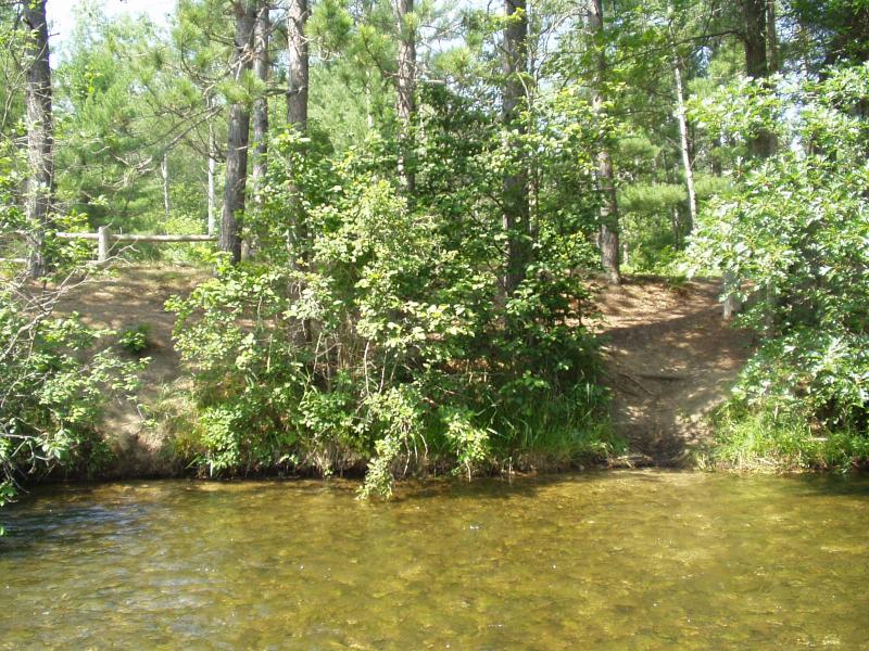
Stream Bank Erosion Site BRD-S501
Total Severity: None
Information collected by:
Boardman River Watershed,
Boardman River
East Bay Twp,
Grand Traverse County
GPS Coordinates: 44.65222137
, -85.45768155
T26N
R10W
Sec 13
Owned by State
Site Access:yes
Bank Details
Which Bank? Right
Bank Conditions
Cause(s) of Erosion
-Foot traffic
Recommended Treatment(s)
-Constructed access
Other Treatments:consider adding signage directing river users to other hard access points at the campground
General Information
Site is just upstream of the large deck. People are accessing the river by going around existing fencing. Heavy foot traffic.

