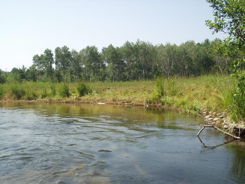
Stream Bank Erosion Site BRD-S511
Total Severity: Restored
Information collected by:
Boardman River Watershed,
Boardman River
Union Twp,
Grand Traverse County
GPS Coordinates: 44.67230993
, -85.41543247
T26N
R9W
Sec 5
Owned by State
Bank Details
Which Bank? Right
Erosion Trend:Stable
Bank Conditions
Cause(s) of Erosion
Recommended Treatment(s)
-Tree revetments
General Information
CMI restoration looks good.

