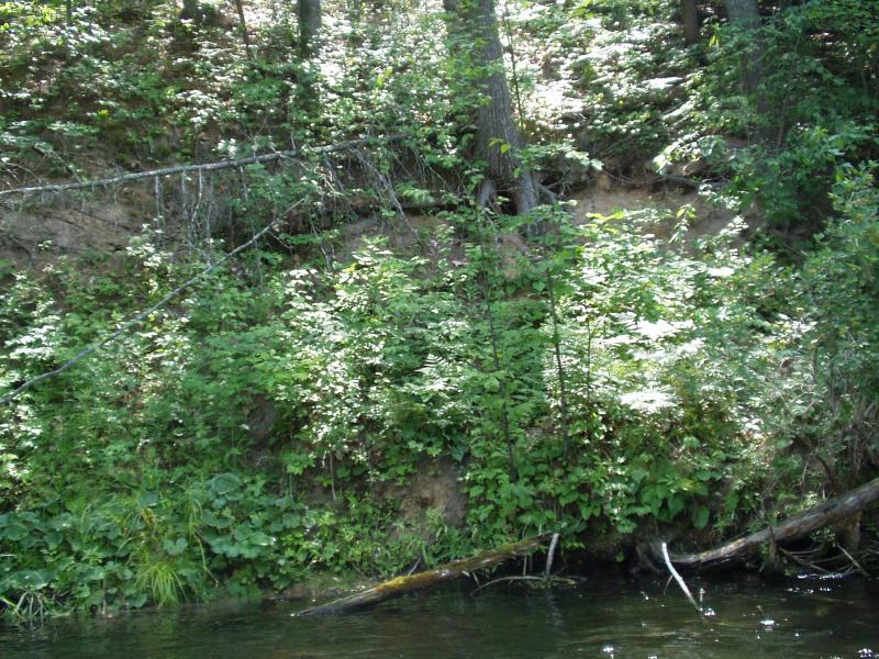
Stream Bank Erosion Site BRD-S532
Total Severity: Restored
Information collected by:
Boardman River Watershed,
Boardman River
Union Twp,
Grand Traverse County
GPS Coordinates: 44.65088454
, -85.45284197
T26N
R9W
Sec 18
Owned by State
Bank Details
Which Bank? Left
Bank Conditions
Cause(s) of Erosion
Recommended Treatment(s)
General Information
Upstream log jams have diveted flow away from bank, which appears to be healing itself.

