Stream Bank Erosion Site BRD-S373
Total Severity: Minor
Total Points: 23
Information collected by:
Boardman River Watershed,
North Branch Boardman River
Kalkaska Twp,
Kalkaska County
GPS Coordinates: 44.70432116
, -85.23121348
T27N
R8W
Sec 25
Owned by State
Site Access:Pipeline
Bank Details
Which Bank? Right
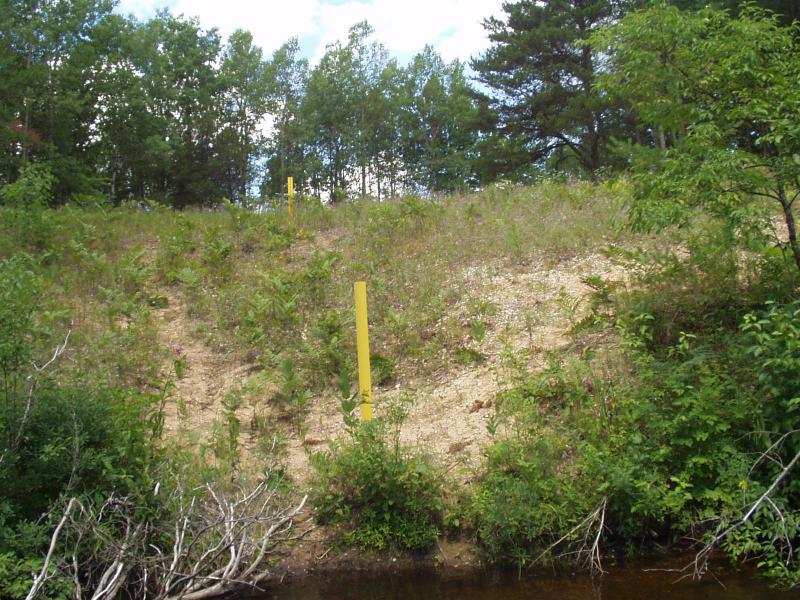
Condition:Toe is stable; upper bank eroding
Erosion Trend:Stable
Percent Veg. Cover: 10-50%
Bank Conditions
Stream Width:30 ft.
Stream Depth:18 in.
Stream Current:Moderate
Eroded Bank Length:20 ft.
Eroded Bank Height:15 ft.
Slope of Eroded Bank:1:1
Texture: Sand
Cause(s) of Erosion
-Foot traffic
Recommended Treatment(s)
-Bank revegetation
General Information
Previous plantings did not take.
Pipeline access is cause for future concern.
Pipeline access is cause for future concern.
Total Points
23
�