Stream Bank Erosion Site BRD-S374
Total Severity: Severe
Total Points: 35
Information collected by:
Boardman River Watershed,
North Branch Boardman River
Kalkaska Twp,
Kalkaska County
GPS Coordinates: 44.7054038
, -85.22893164
T27N
R8W
Sec 25
Owned by State
Site Access:Yes - campsite atop bank
Bank Details
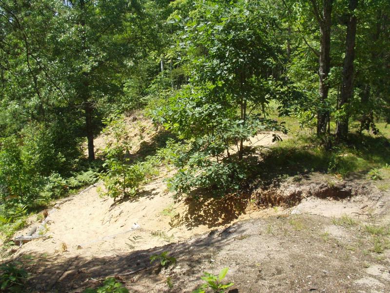
Which Bank? Right
Condition:Both toe and upper bank eroding
Erosion Trend:Increasing
Percent Veg. Cover: 10-50%
Bank Conditions
Stream Width:28 ft.
Stream Depth:18 in.
Stream Current:Moderate
Eroded Bank Length:100 ft.
Eroded Bank Height:18 ft.
Slope of Eroded Bank:1:1
Texture: Sand
Cause(s) of Erosion
-Foot traffic
Recommended Treatment(s)
Other Treatments:Topsoil, Steps, Fencing
General Information
Access Site
Users installed some erosion remedies, although not working well.
Users installed some erosion remedies, although not working well.
Total Points
35
�