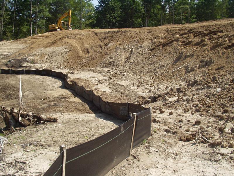
Stream Bank Erosion Site BRD-S831
Total Severity: Severe
Total Points: 37
Information collected by:
Boardman River Watershed,
Robbin's Creek
Garfield Twp,
Grand Traverse County
GPS Coordinates: 44.69549614
, -85.64712204
T27N
R11W
Sec 33
Owned by Private
Site Access:yes - Svec Construction's clay/gravel pit
Bank Details
Condition:Both toe and upper bank eroding
Erosion Trend:Increasing
Percent Veg. Cover: 0-10%
Bank Conditions
Stream Width:1 ft.
Stream Depth:1 in.
Stream Current:Slow
Eroded Bank Height:25 ft.
Slope of Eroded Bank:1:1
Texture: Clay
Cause(s) of Erosion
-Gullying
Other causes: Storm flows
Recommended Treatment(s)
-Bank revegetation
Other Treatments:Silt fencing
General Information
Both Left and right banks contributing fine sediments from massive clay washout on 08-08-05.
Sediments buried the headwater wetlands of Robbin's Creek in 4-6" of clay.
Svec is working to remedy this situation and prevent future incidents at this site.
Sediments buried the headwater wetlands of Robbin's Creek in 4-6" of clay.
Svec is working to remedy this situation and prevent future incidents at this site.
BMPs Completed:
insufficient silt fencing
Total Points
37

