Stream Bank Erosion Site BGMN-047
Total Severity: Minor
Total Points: 23
Information collected by:
Big Manistee River Watershed,
Hanover Twp,
Wexford County
GPS Coordinates: 44.46521
, -85.58916
T24N
R11W
Sec 24
Owned by State
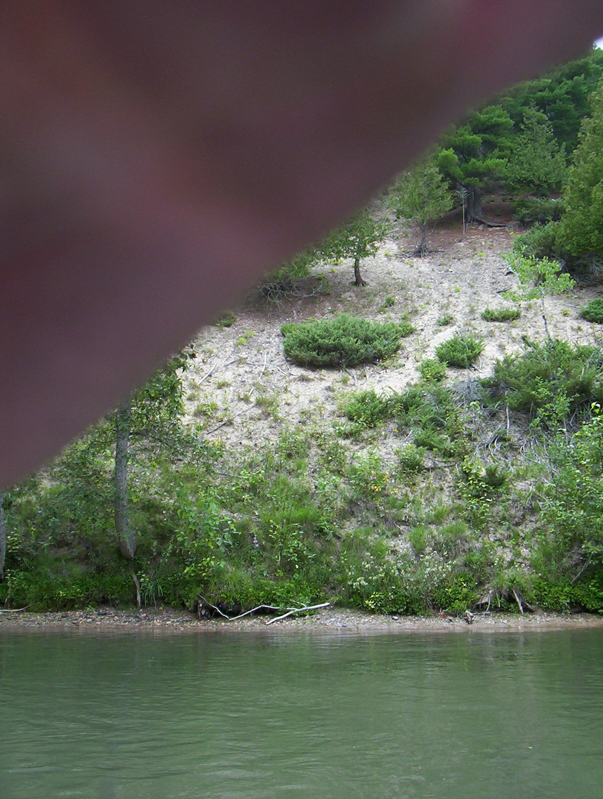
Bank Details
Which Bank? Right
Bank Aspect:E
Condition:Toe is stable; upper bank eroding
Erosion Trend:Stable
Percent Veg. Cover: 50-100%
Bank Conditions
Stream Width:80 ft.
Stream Depth:6 ft.
Stream Current:Slow
Eroded Bank Length:260 ft.
Eroded Bank Height:20 ft.
Slope of Eroded Bank:3:1
Texture: Sand
Cause(s) of Erosion
-Bend in river
-Foot traffic
Recommended Treatment(s)
-Bank revegetation
General Information
Total Points
23
�