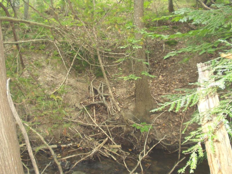
Stream Bank Erosion Site BRD-S832
Total Severity: Severe
Total Points: 37
Information collected by:
Boardman River Watershed,
Kids Creek Tributary D
Garfield Twp,
Grand Traverse County
GPS Coordinates: 44.72727421
, -85.64977973
T27N
R11W
Sec 21
Owned by Private
Site Access:???
Bank Details
Which Bank? Left
Condition:Both toe and upper bank eroding
Erosion Trend:Increasing
Percent Veg. Cover: 0-10%
Bank Conditions
Stream Width:6 ft.
Stream Depth:4 in.
Stream Current:Moderate
Eroded Bank Length:35 ft.
Eroded Bank Height:12 ft.
Slope of Eroded Bank:1:1
Cause(s) of Erosion
-Obstructions in river
-Bend in river
-Foot traffic
Other causes: sheet flow from storm runoff
Recommended Treatment(s)
-Obstruction removal
-Bank revegetation
-Cover structure
Other Treatments:Coir fiber rolls
General Information
Soil Texture: clay / loam
Steep bank combined with minor foot traffic and storm flows is causing erosion.
Forest is dominated by eastern hemlock and white cedar.
Steep bank combined with minor foot traffic and storm flows is causing erosion.
Forest is dominated by eastern hemlock and white cedar.
BMPs Completed:
Reposition woody debris at site
Reposition boulder at site
Reposition boulder at site
Total Points
37

