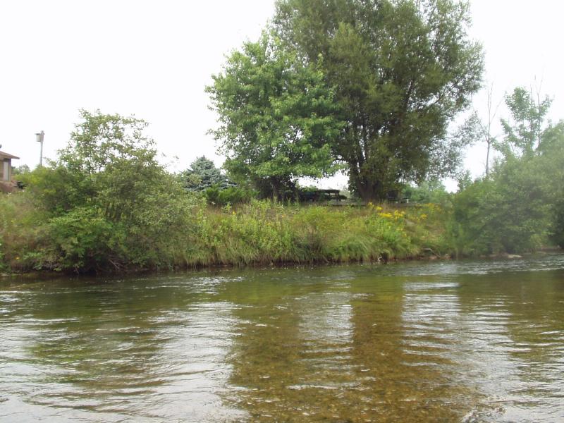
Stream Bank Erosion Site BRD-S096
Total Severity: Restored
Information collected by:
Boardman River Watershed,
Boardman River
Blair Twp,
Grand Traverse County
GPS Coordinates: 44.65848944
, -85.59924904
T26N
R11W
Sec 11
Owned by Private
Bank Details
Which Bank? Right
Erosion Trend:Stable
Bank Conditions
Cause(s) of Erosion
Recommended Treatment(s)
General Information
Stabilized well, but no lunker structures.
BMPs Completed:
rock rip rap
revegetation
revegetation

